
SIGHTRIDGE MEDIA
Aerial Imaging & Field Documentation — Northern MD & Southern PA
What I Document
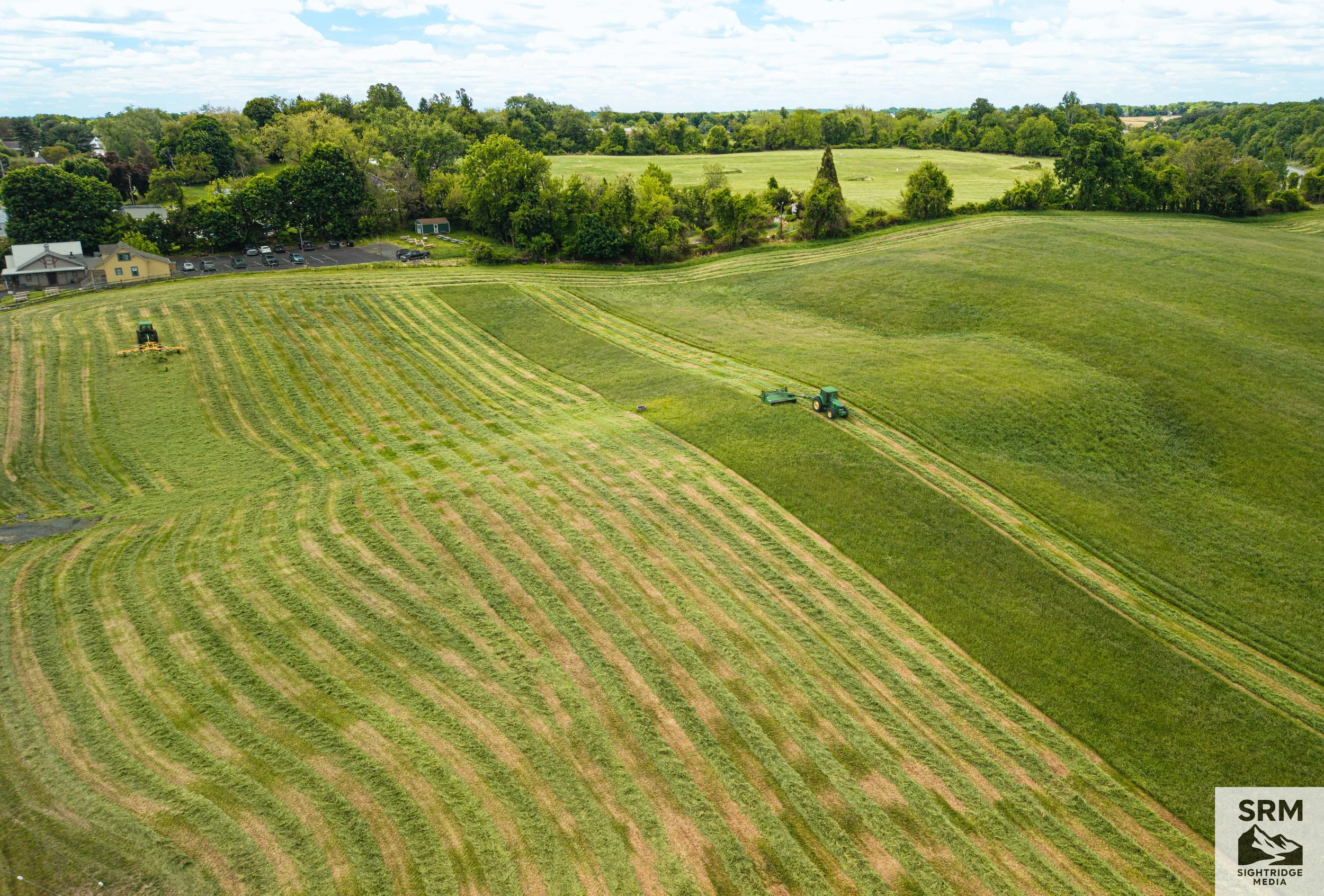
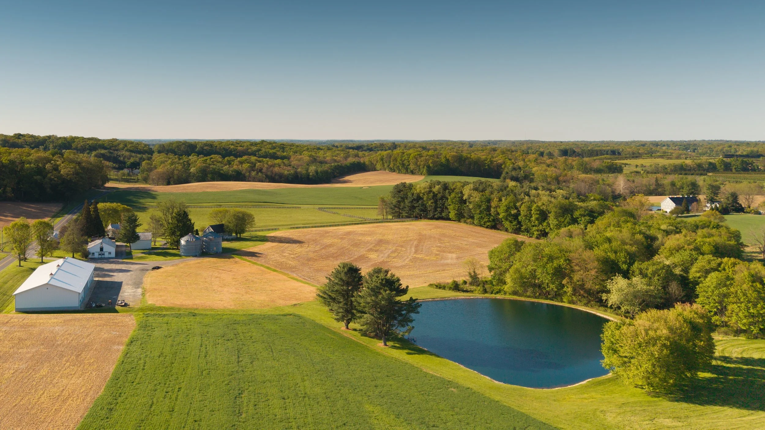
Land & Acreage Overviews — $300 Base Clear visual aerial records, layout overviews, and terrain orientation for expansive tracts of land, large estates, or agricultural properties. Base pricing covers up to 10 acres. (Note: Properties over 10 acres automatically scale at +$10 per additional acre on your final invoice).
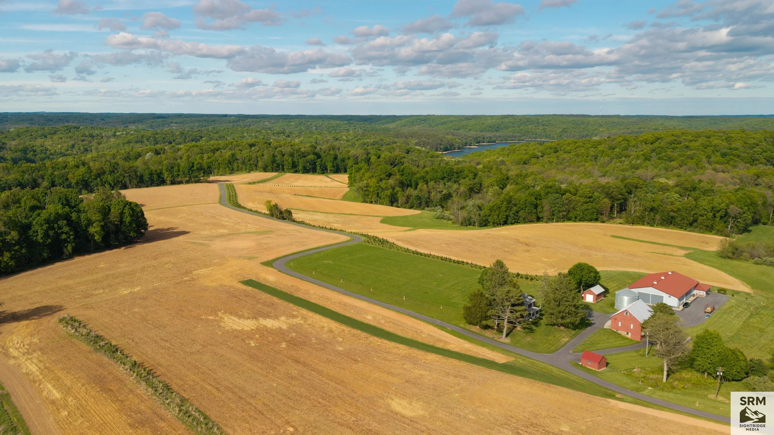
Aerials & Landscapes: a homestead set among rolling farmland and tree lines in mid-morning light. A view of home worth hanging on the wall. Photo featured in LocalNews1 of Franklin County, PA and Washington County, MD.
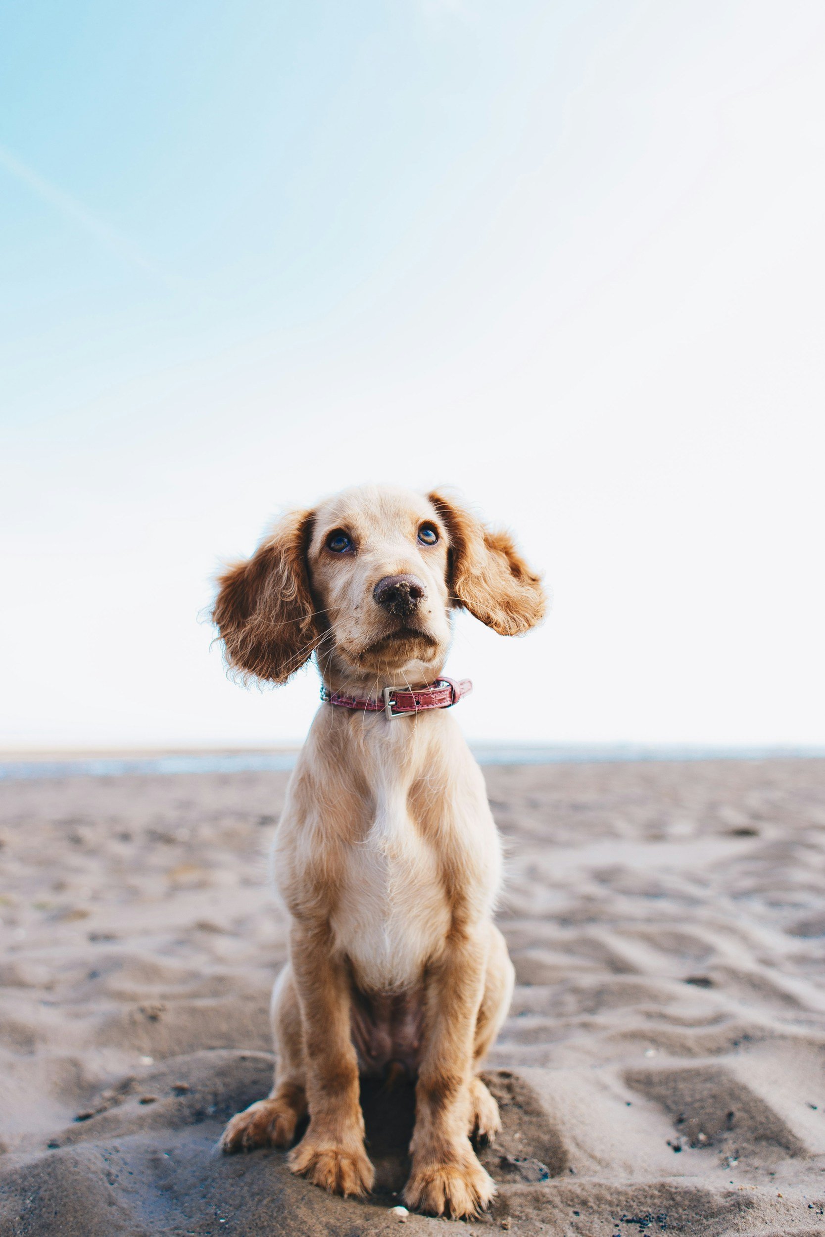
Lost Pet Search: $150 Lost Pet Search: $150 I use thermal imaging to search dense brush, open fields, and wooded areas for missing animals. $150 covers up to 2 hours of searching within 15 miles of Parkton, MD. If the search runs longer, additional time is $75/hour, billed after the flight. Searching improves the odds but can’t guarantee your pet will be found. Available evenings and weekends as my schedule allows. Call or text 443-791-7742 to request a search.
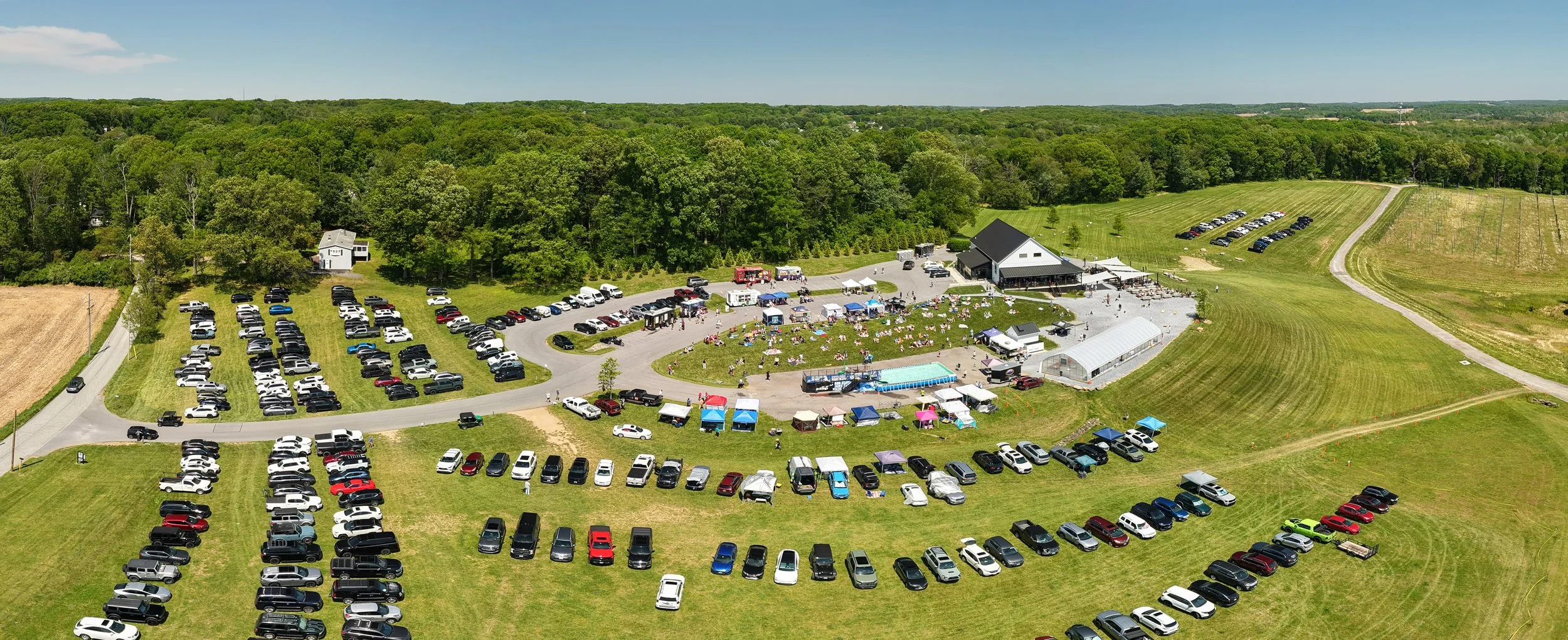
Comprehensive Events Coverage — Custom Quotes High-end aerial coverage capturing the full scale, energy, and layout of community festivals, farm gatherings, or commercial outdoor events. Perfect for promotional materials, social media, or sponsorship decks. (Note: Base pricing starts at $300. Billed as quoted individually based on requested flight time and asset delivery needs).
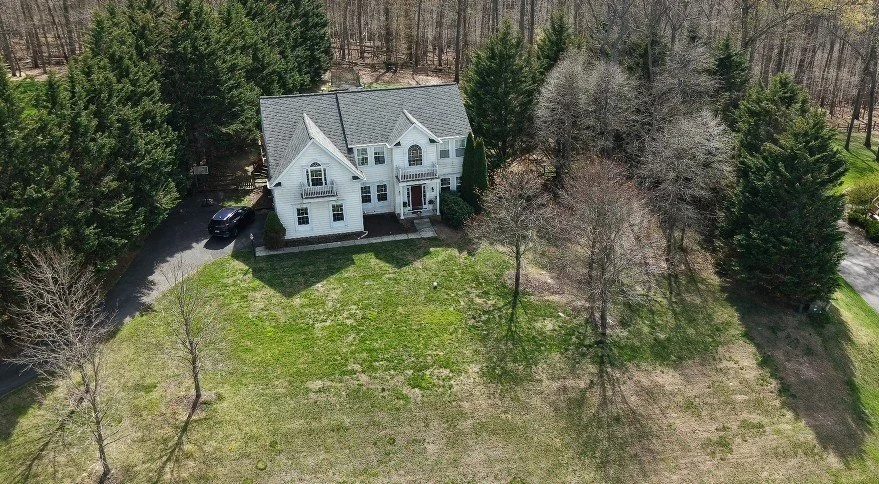
Home Visuals & Portraits — $300 High-resolution aerial portraits of the primary residential structure and immediate grounds. (Note: Covers immediate structures and yards only. Strictly excludes open acreage tracking or boundary layout lines).
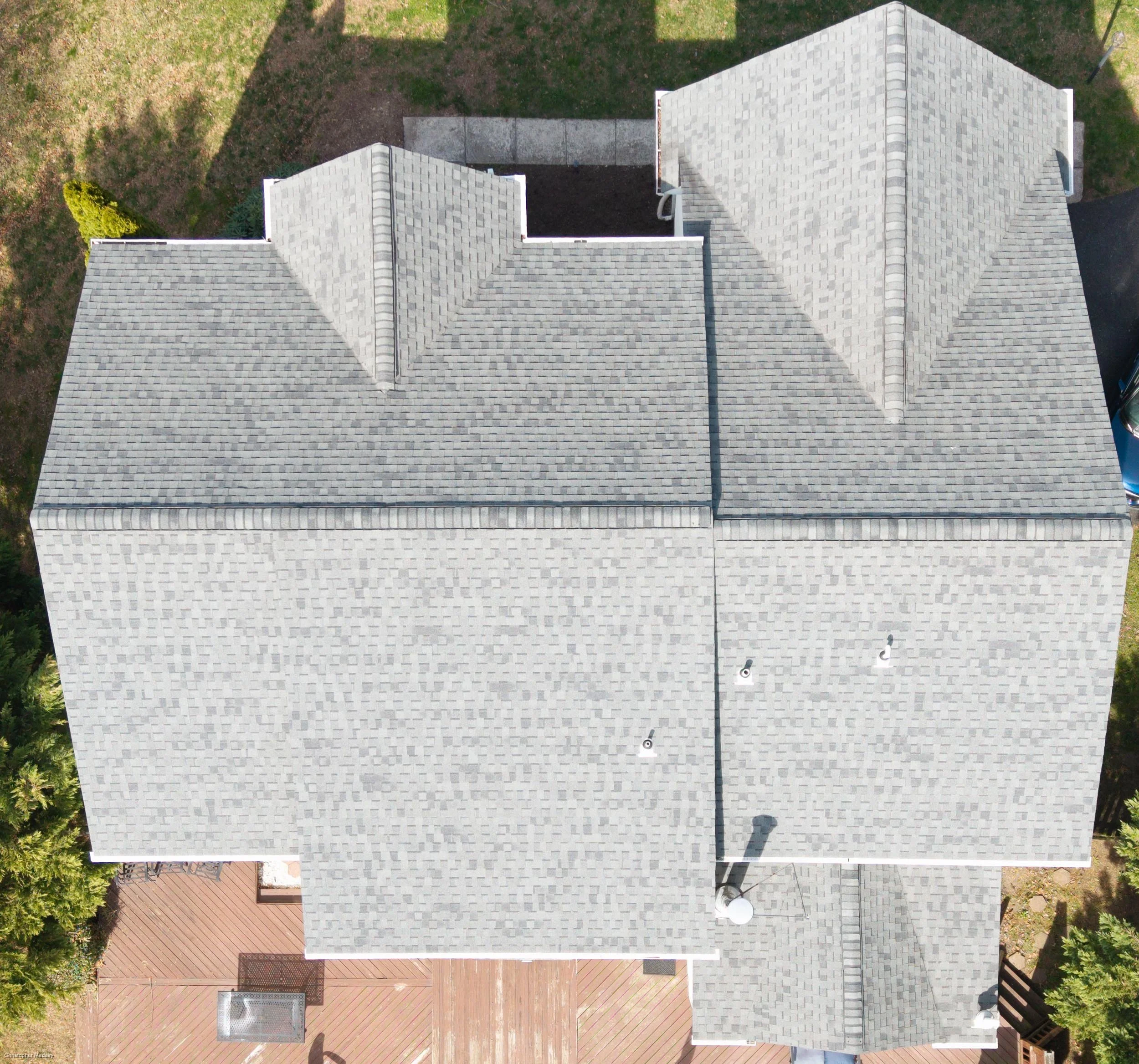
Structure & Roof Documentation — $250 Flat High-detail aerial exterior documentation of residential rooflines, chimneys, siding, and perimeter structures. Provides clear visual records for contractor repair estimates or insurance submissions. (Note: Visual documentation purposes only; not a structural engineering or official home code inspection).
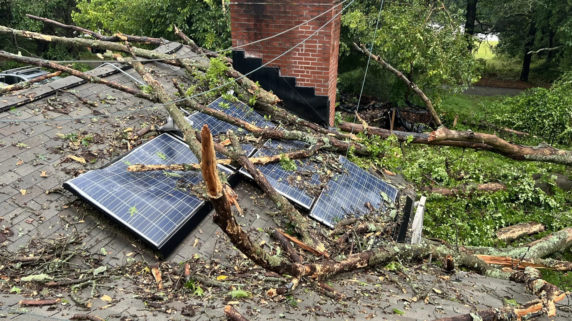
Emergency Storm Damage Documentation — $250 Base Whole-property visual aerial records following severe weather events—covering roofs, siding, trees, and fencing. Formatted cleanly for rapid insurance submission. (Note: Expedited 48-Hour Priority Delivery is available as a checkout add-on for urgent claims).
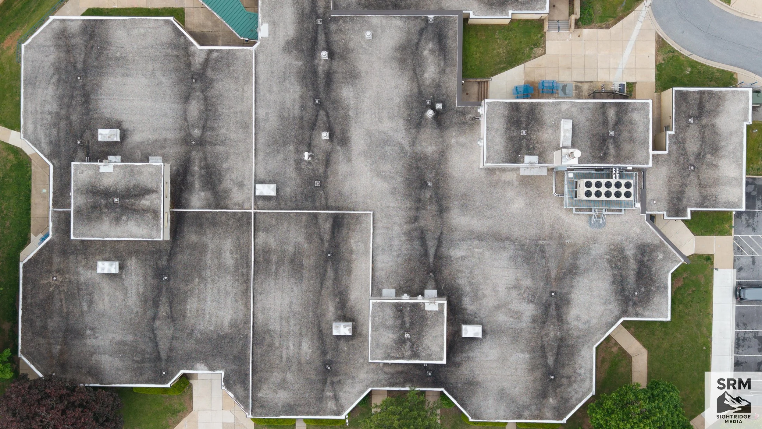
Commercial Roof Documentation: $350 Aerial documentation of flat and low-slope commercial roofs: HVAC units, flashing, parapet walls, drainage areas, and water staining, captured from above with no roof access needed. Includes up to 1 hour on-site and all usable high-resolution images from the flight, edited and organized, delivered within 5 business days. Additional on-site time is $150/hour. 48-hour priority delivery is available for +$150.
Who's Flying?
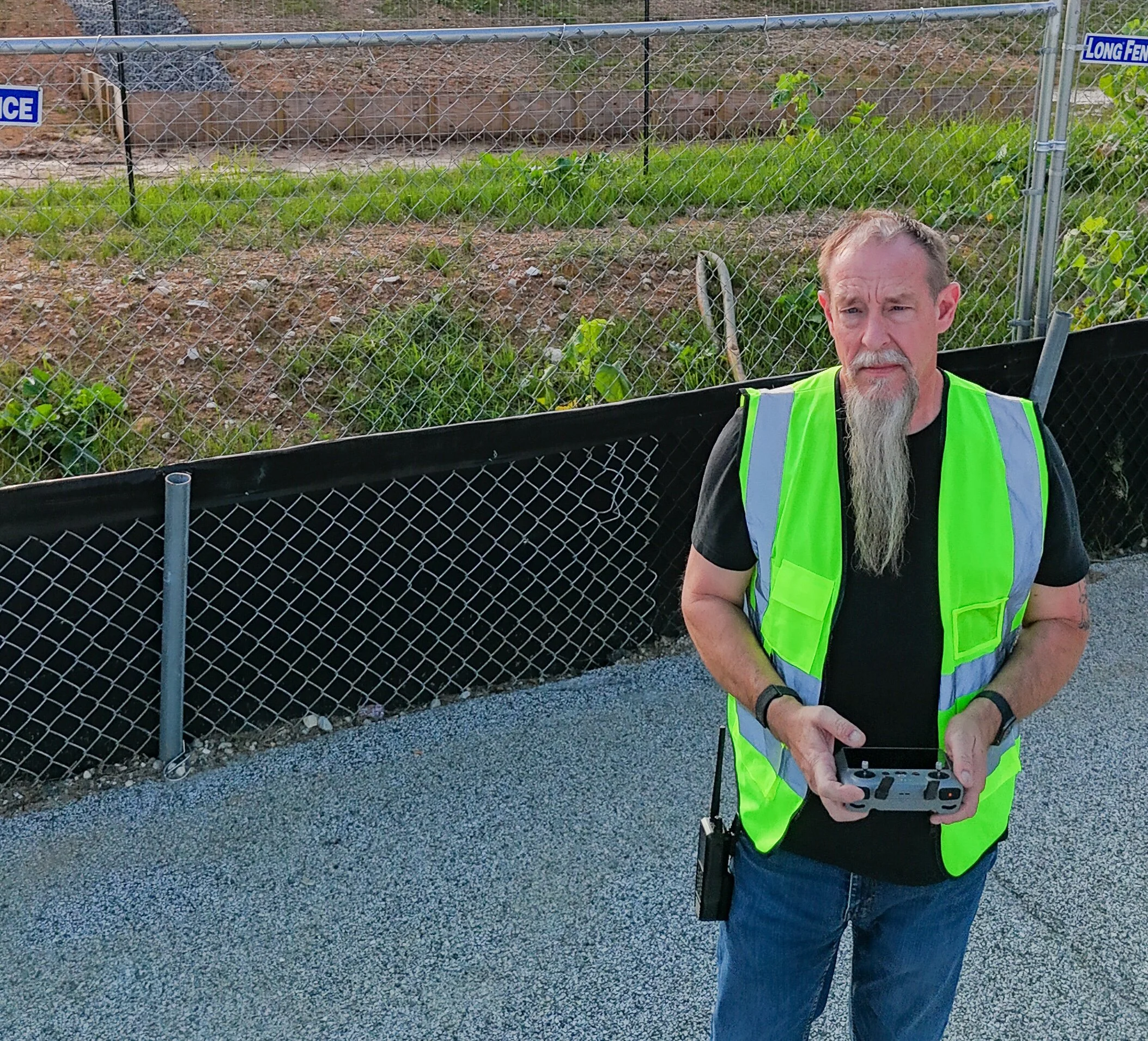
Chris Madairy - I'm a licensed FAA Part 107 pilot based in Parkton, MD, flying a DJI Matrice 4T, DJI Air 3S, Mini 5 Pro, and Mini 4 Pro across Northern Maryland and Southern Pennsylvania. SightRidge Media is one person, on purpose. You reach me directly, not a call center.