
My Work
Aerial photography and roof documentation across Northern Maryland and Southern Pennsylvania — from wide landscape reveals to close-up structural detail. Every image here was captured with a DJI Air 3S or Mini 4 Pro by a licensed FAA Part 107 pilot.
This gallery grows with every project. If you don't see your property type here, reach out — I’m adding new work regularly.
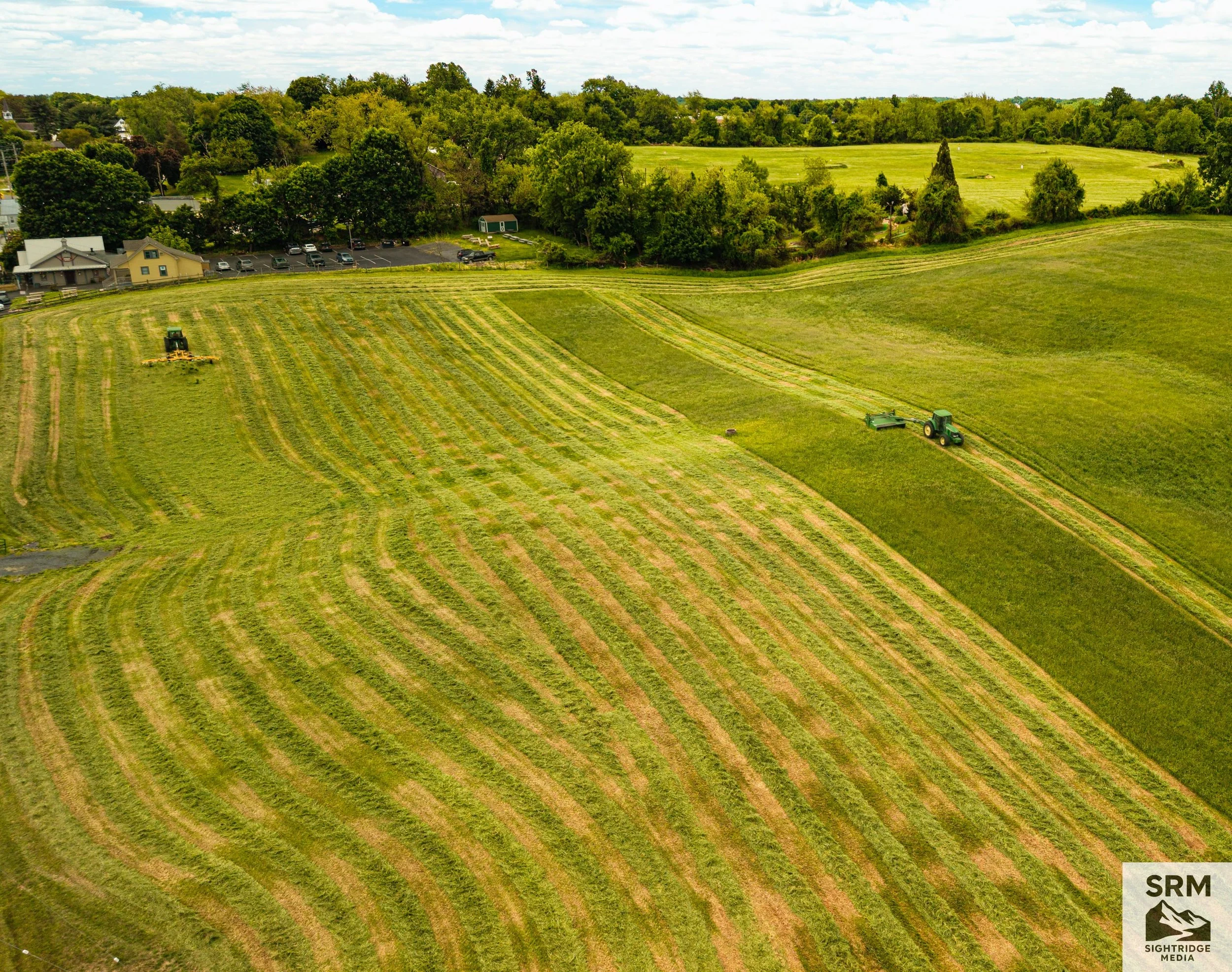
Agricultural Hay Harvest — Aerial overview of first-cut hay season showing mowing patterns, field contours, and active harvesting operations — Hereford, Maryland.
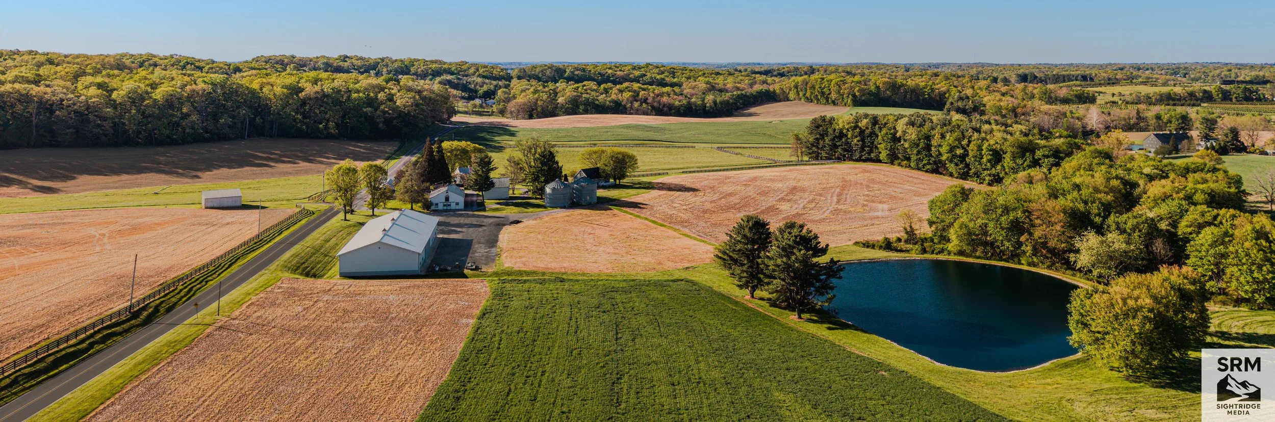
Agricultural Field Overview - Aerial field survey showing crop patterns, drainage areas, and property boundaries — Northern Maryland.
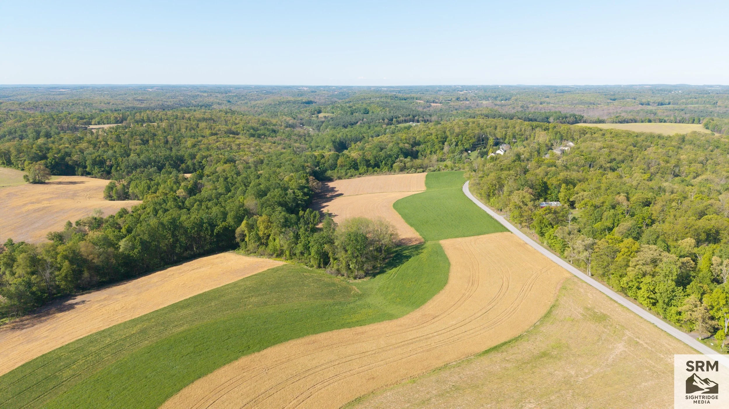
Agricultural Field Overview - Aerial field survey showing crop patterns, drainage areas, and property boundaries — Northern Maryland.
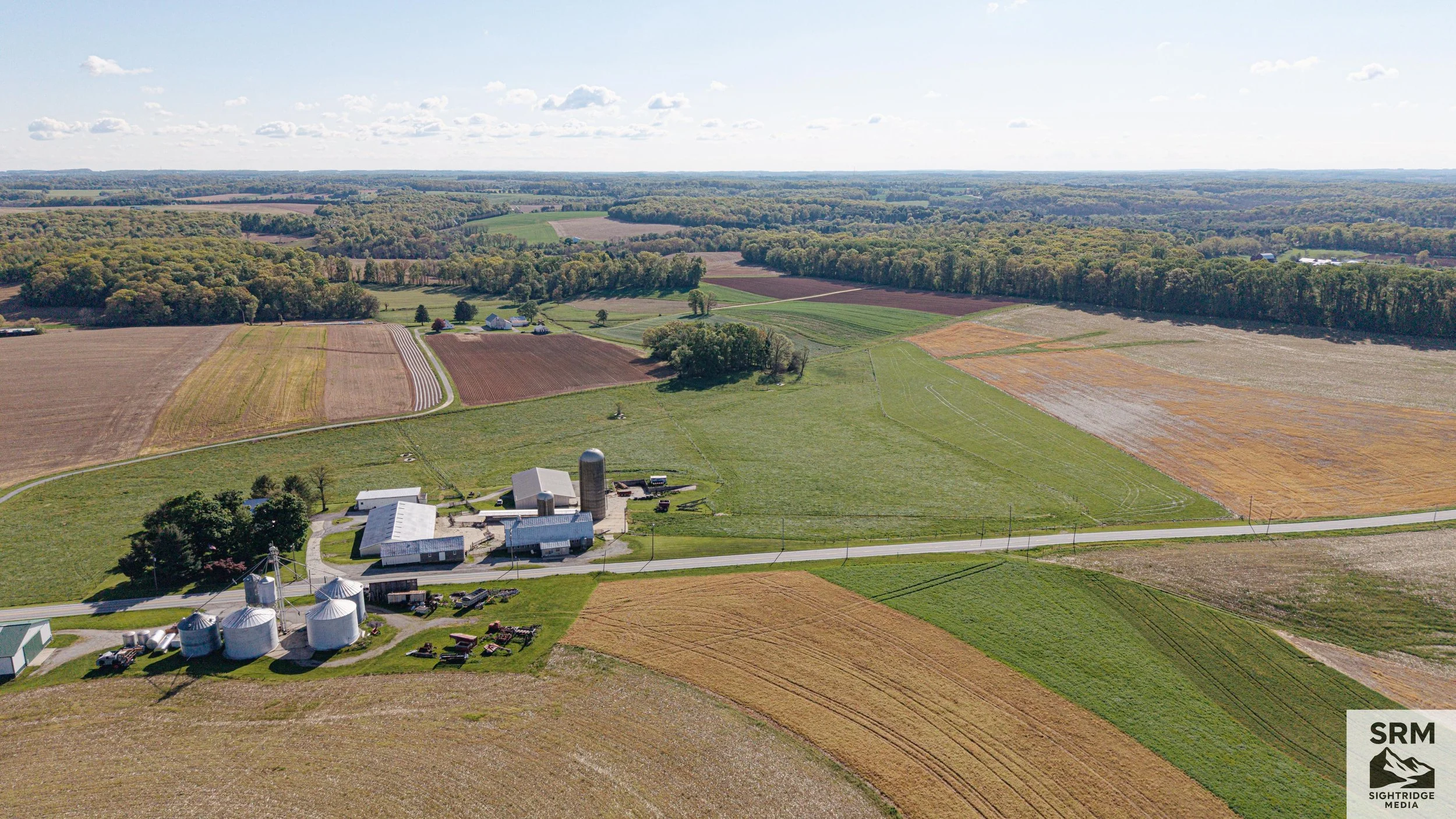
Aerial view of a rural farm landscape with fields, farm buildings, silos, silos, barns, and silos surrounded by green and brown fields, with a vast forest in the background, under a partly cloudy sky.
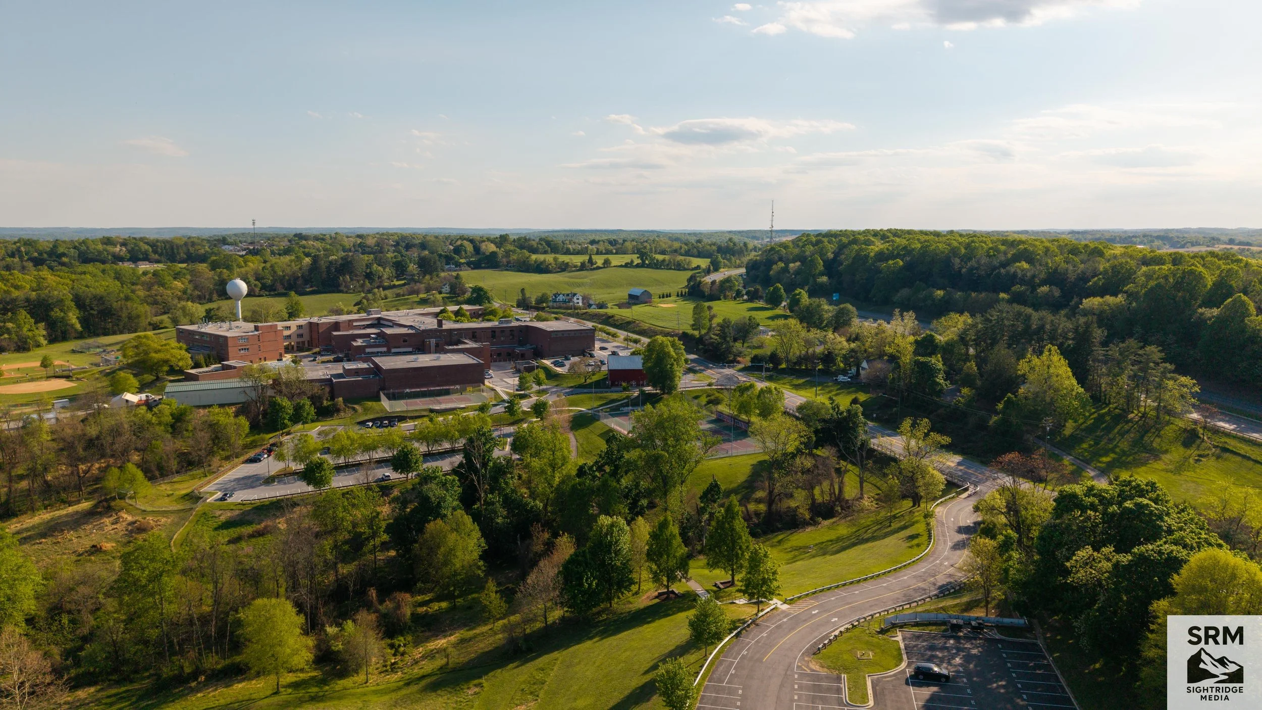
Aerial view of a school complex surrounded by trees and parking lots with green fields in the background and a partly cloudy sky.
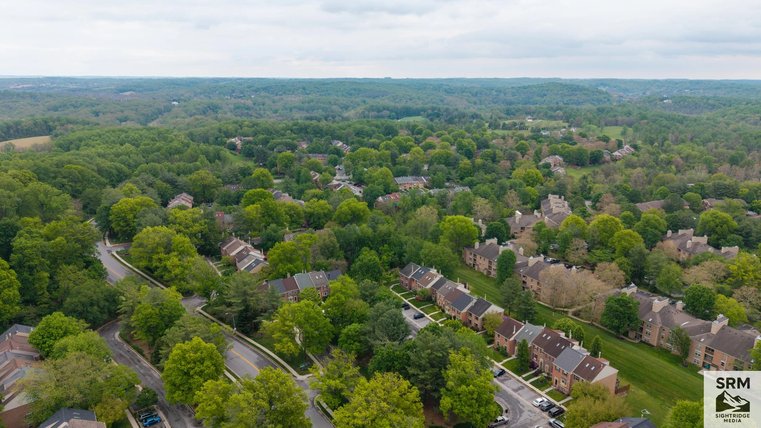
Residential Aerial — Northern MD - Neighborhood overview showing property layouts, lot boundaries, and surrounding context.
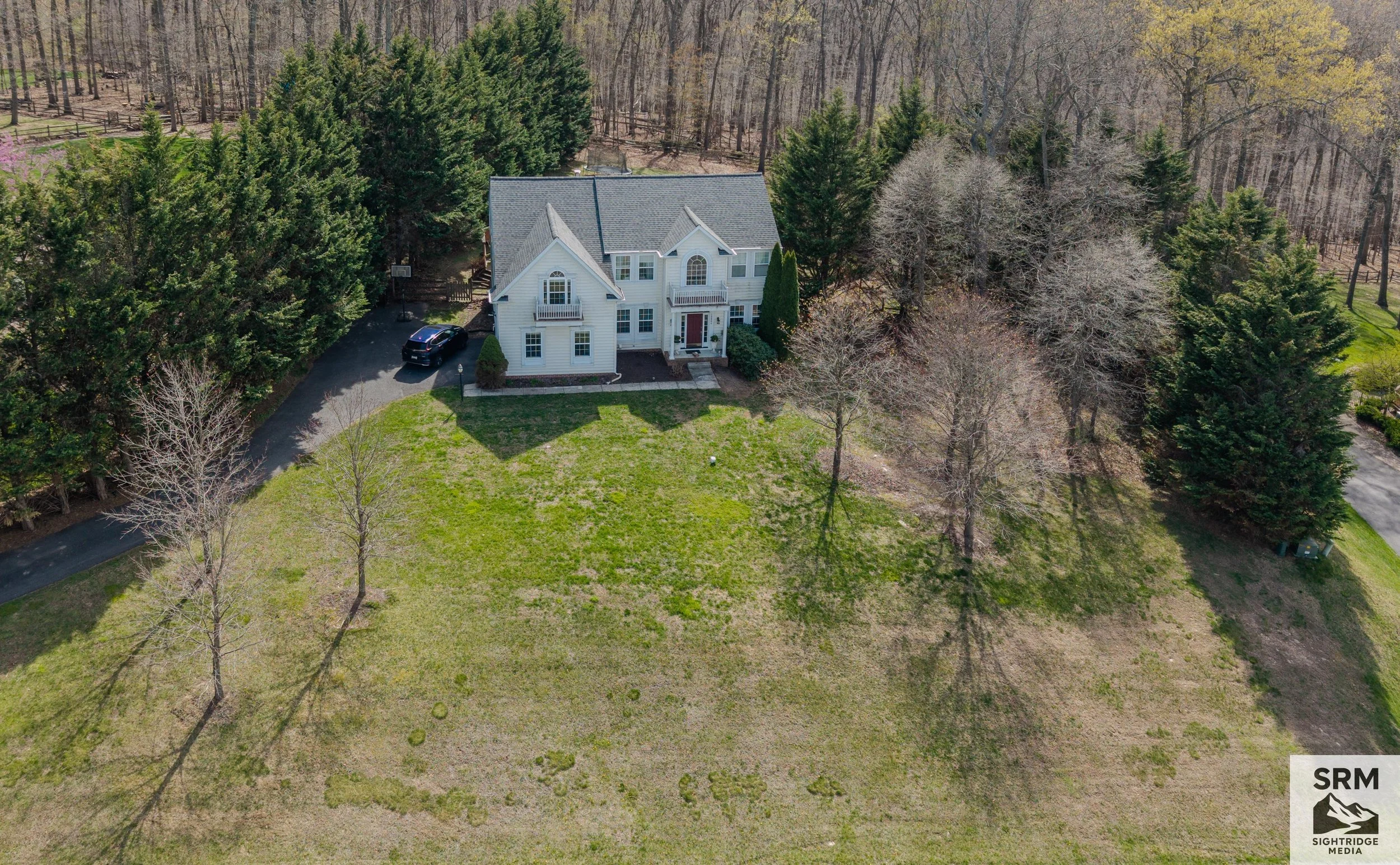
A large white house with multiple gable roofs, a front porch with columns, and a yard surrounded by trees. A driveway with a parked dark-colored car is visible to the left of the house. The background shows a wooded area with tall trees.
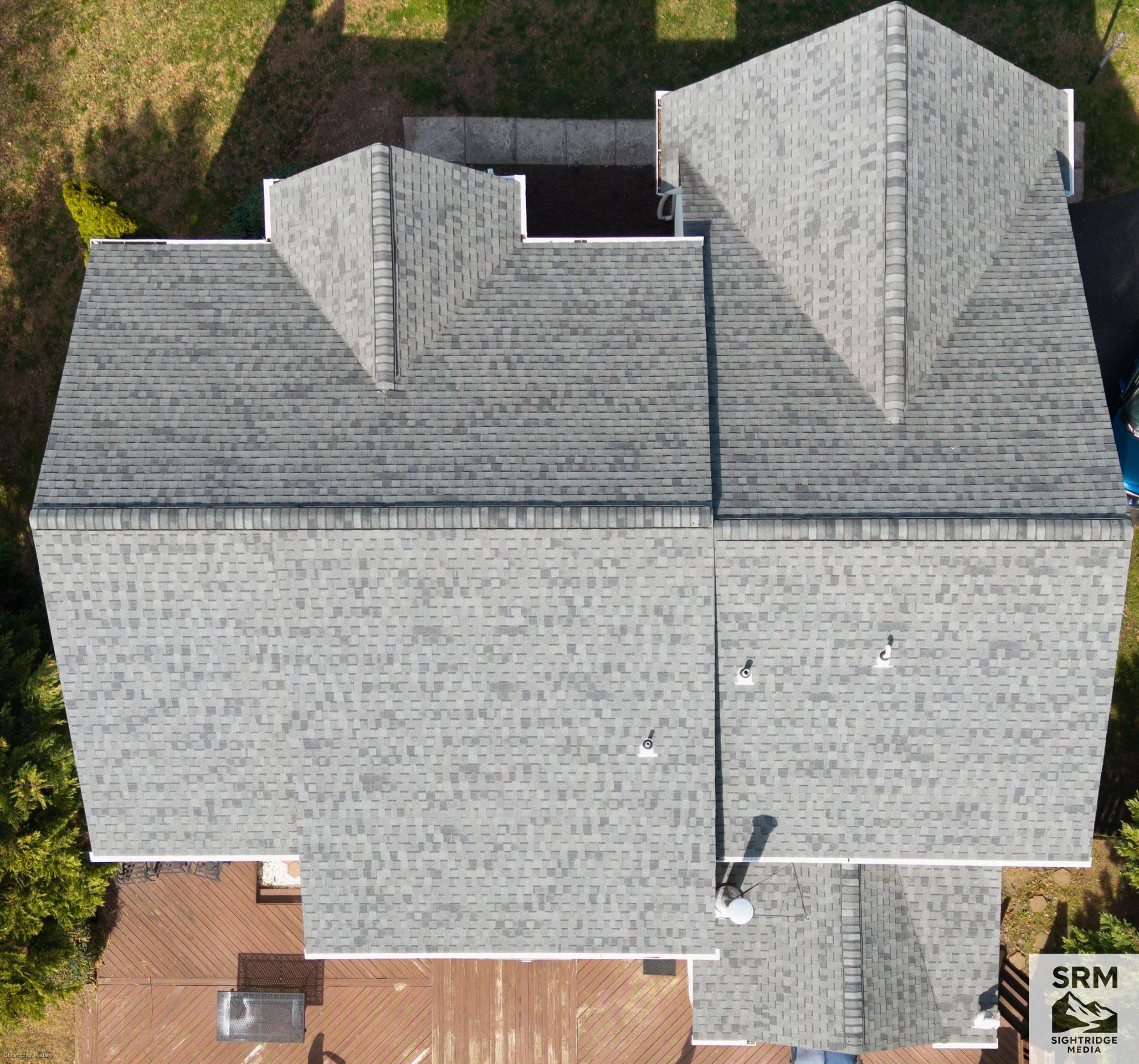
Residential Roof Overview - Full roofline documentation from above — all planes, ridgelines, and penetrations captured in a single pass.
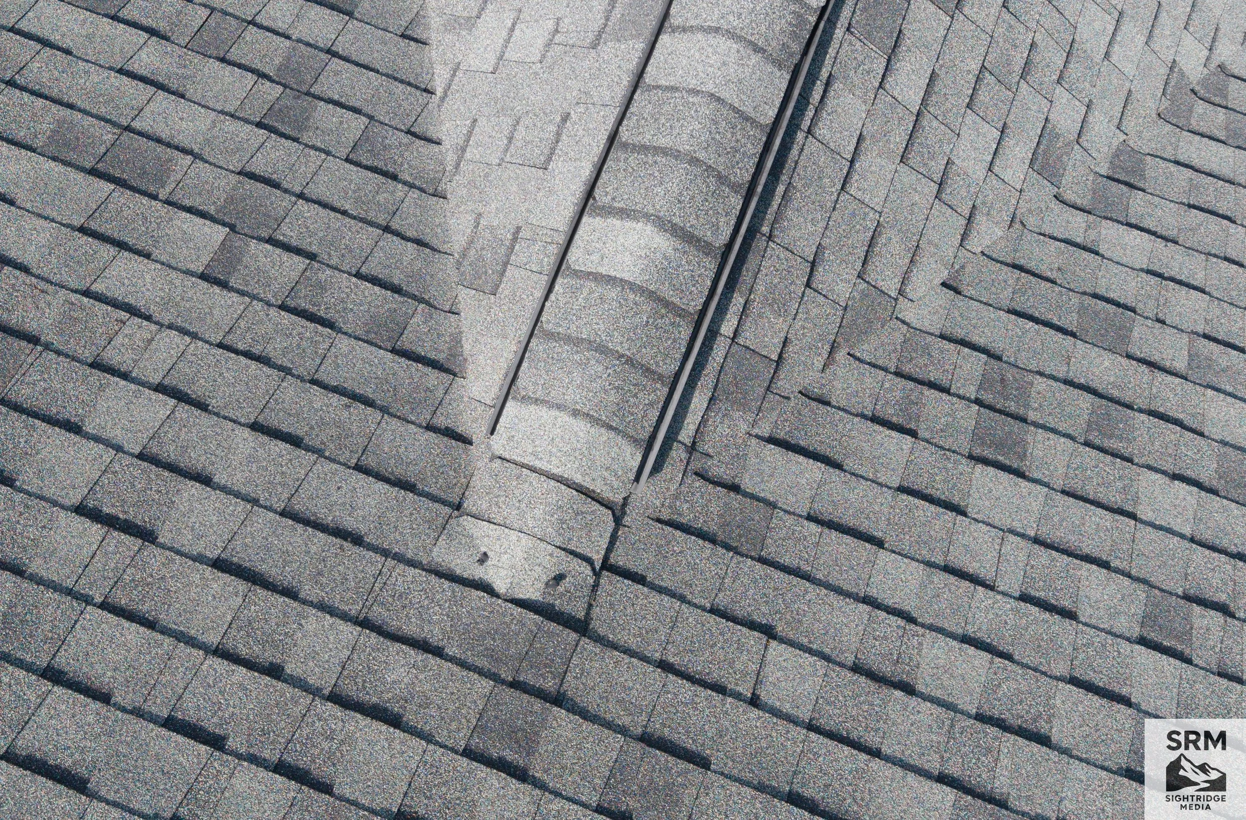
A close-up of a roof with asphalt shingles, showing a section with even rows of gray shingles and a metal vent pipe.
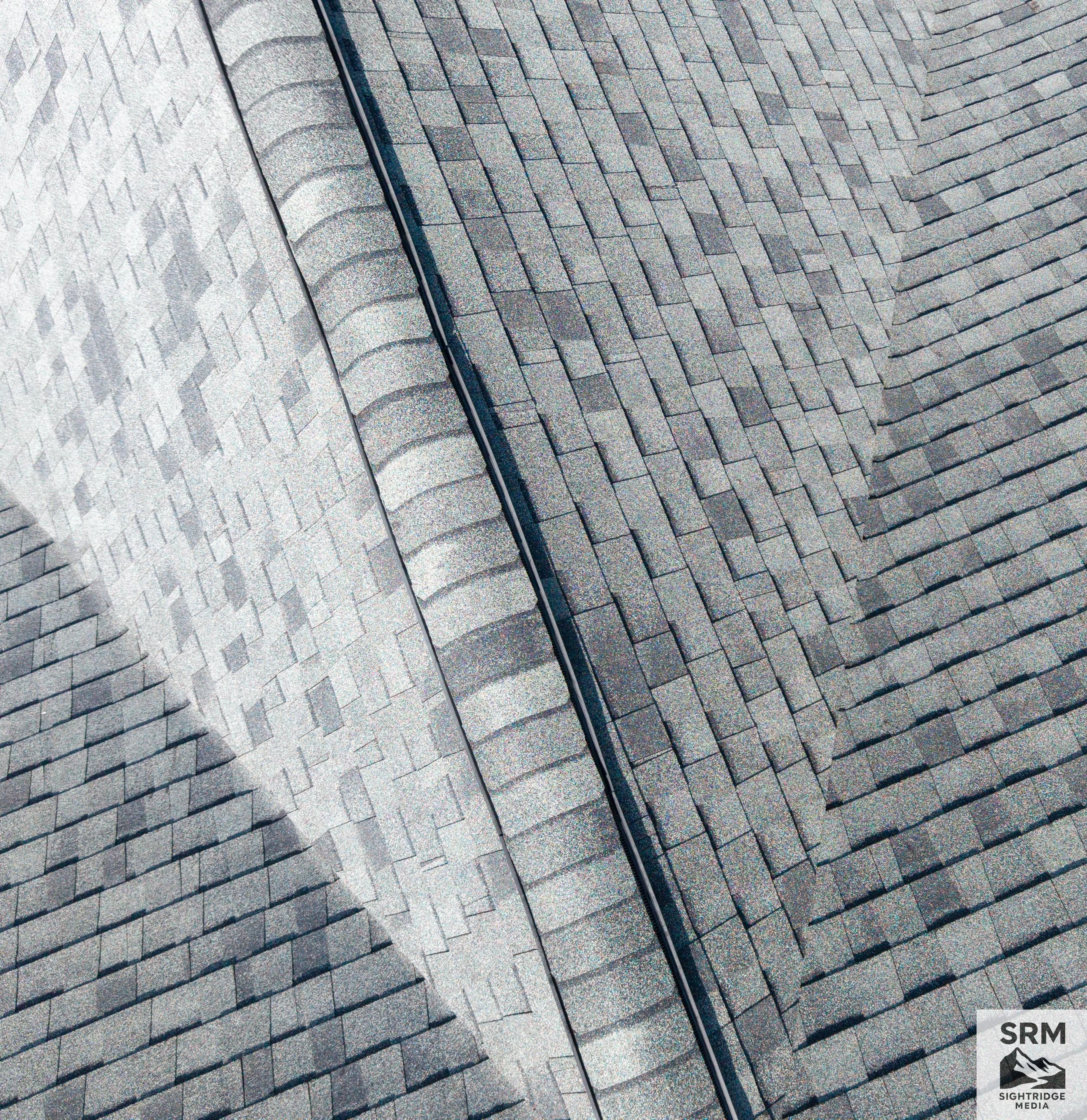
Roof Valley & Shingle Detail - High-resolution aerial detail of valleys, ridgelines, and shingle condition — common leak points clearly visible
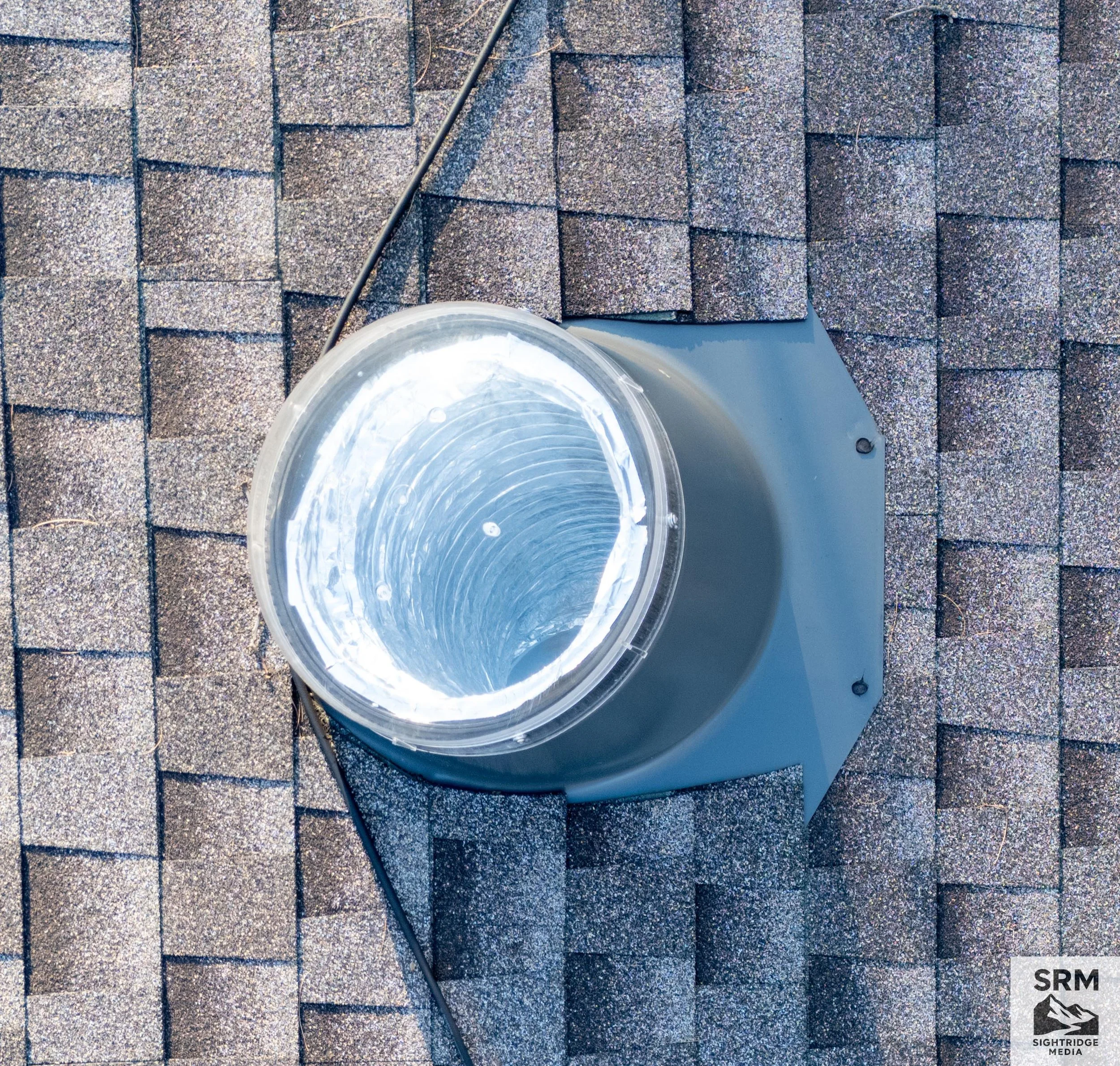
Roof Skylight & Sun Tunnel Detail - Close-up aerial documentation of sun tunnel installation and surrounding shingle condition — detail only visible from above.
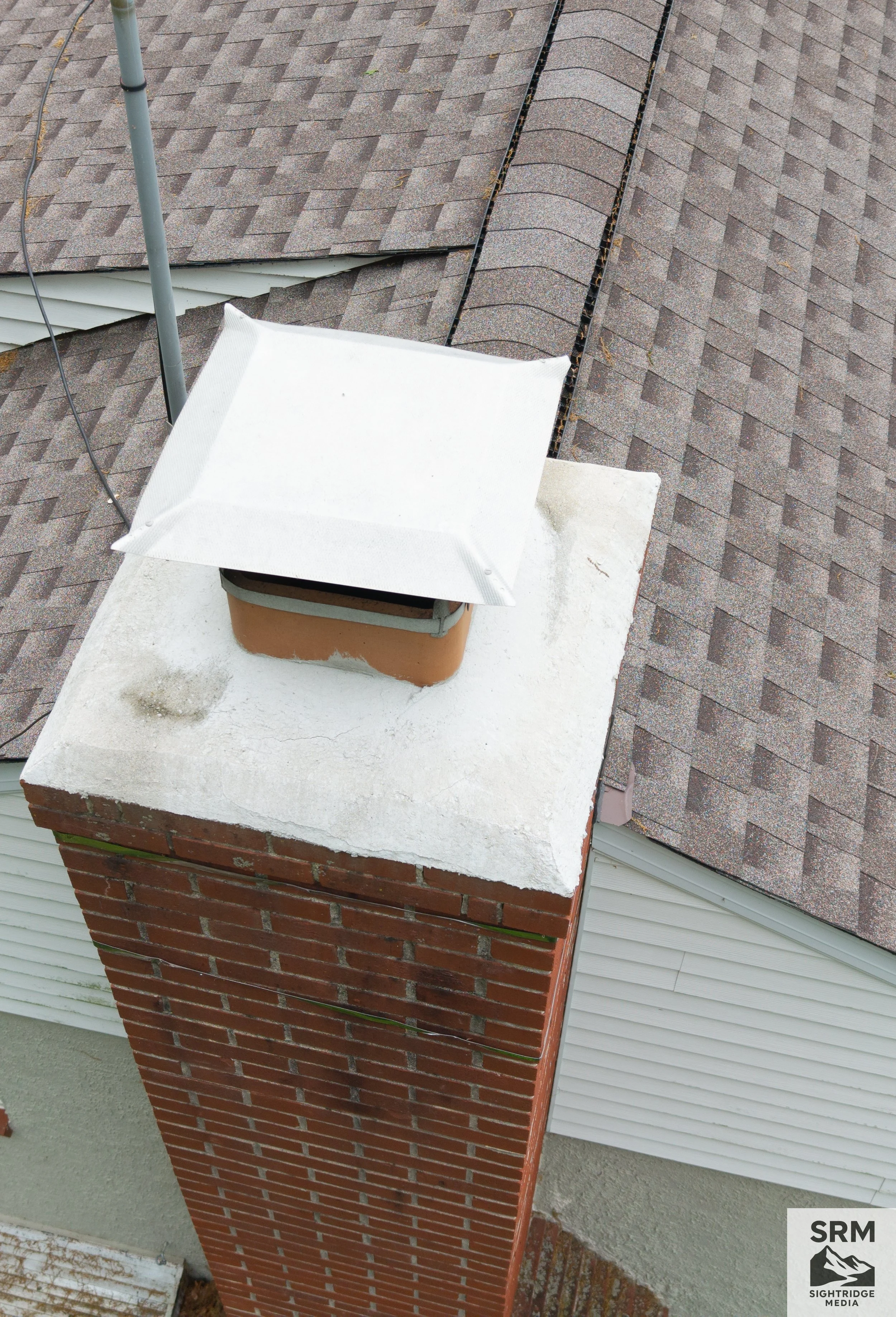
Chimney Crown Detail - Aerial close-up of chimney crown showing mortar condition, cracking, and weathering — critical inspection point for water intrusion.
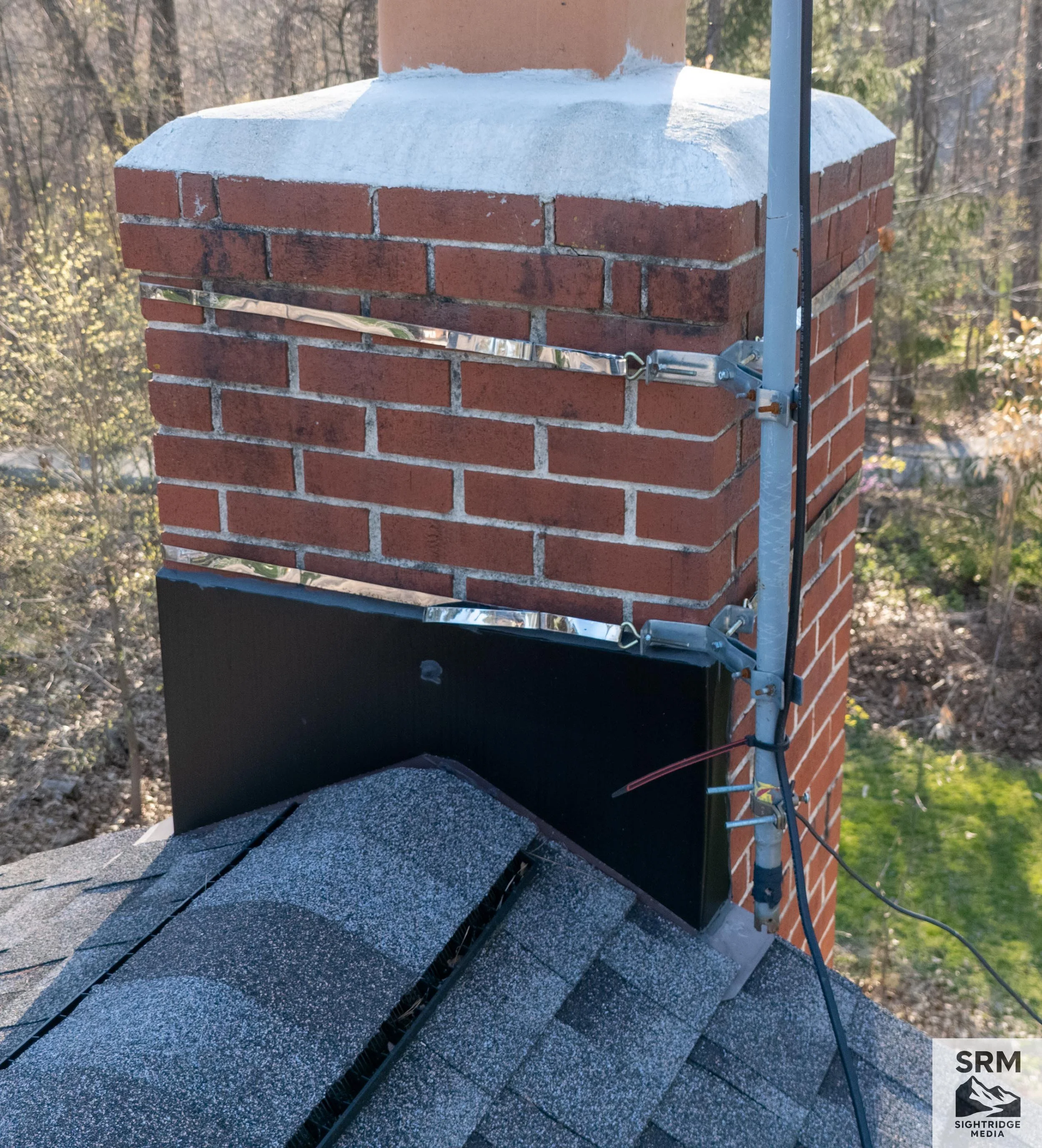
Close-up of a brick chimney with mortar, capped with white material, and with scaffolding made of metal and black brackets surrounding it, set outdoors with trees and sunlight in the background.
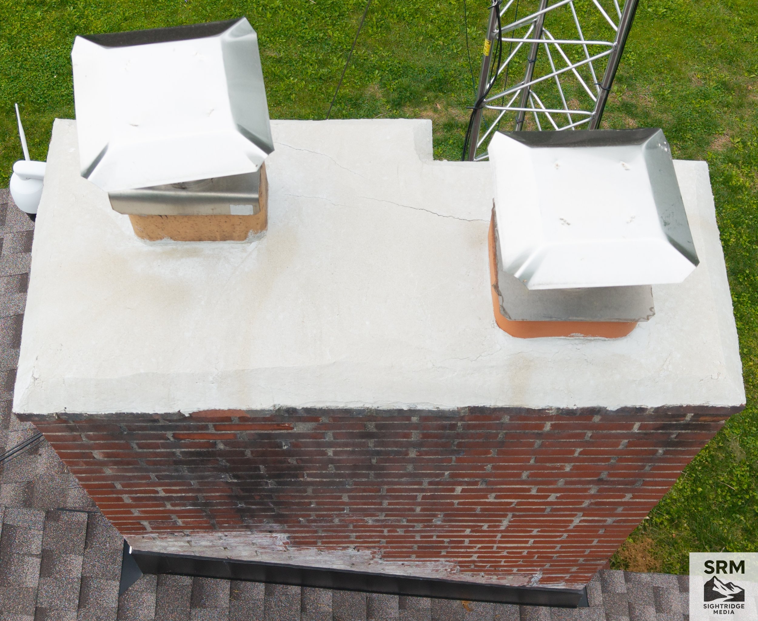
Chimney Crown Detail - Aerial close-up of chimney crown showing mortar condition, cracking, and weathering — critical inspection point for water intrusion.
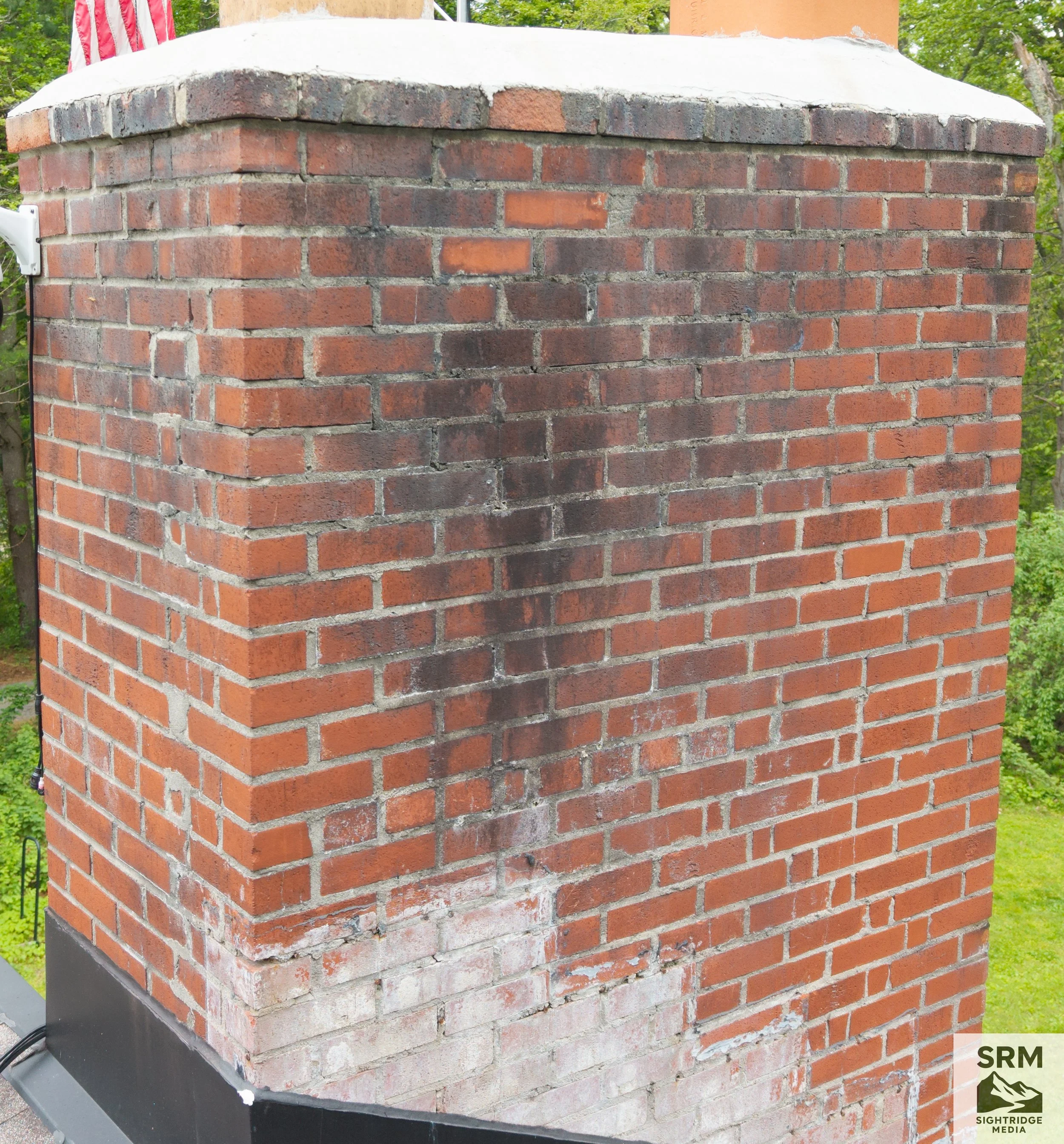
Chimney Documentation - Close-up aerial detail showing cap, mortar joints, flashing, and crown condition — no ladder required
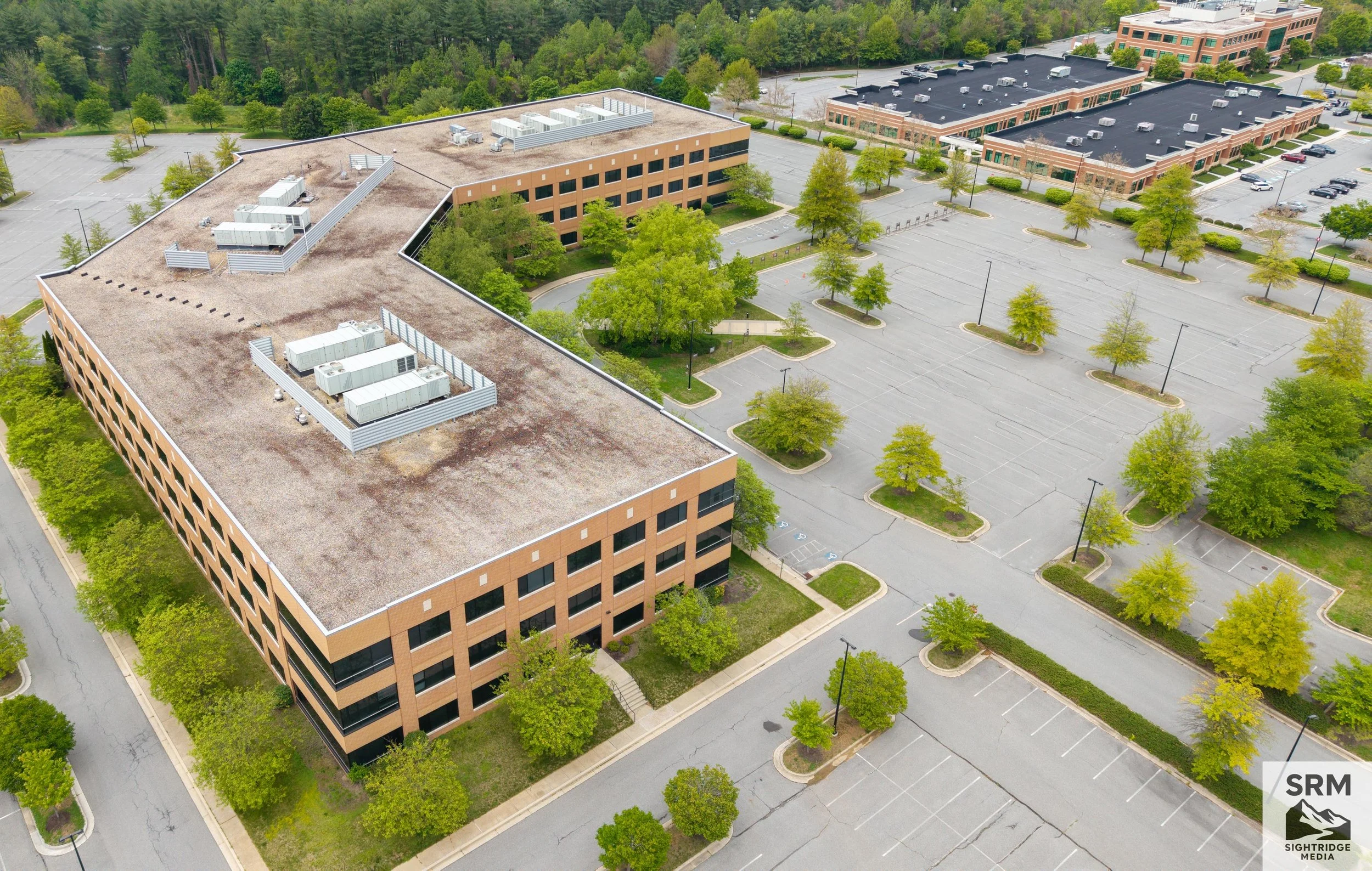
Commercial Property Aerial - Full commercial site overview showing building footprint, parking, and surrounding access.

Commercial Property Aerial - Full commercial site overview showing building footprint, parking, and surrounding access.
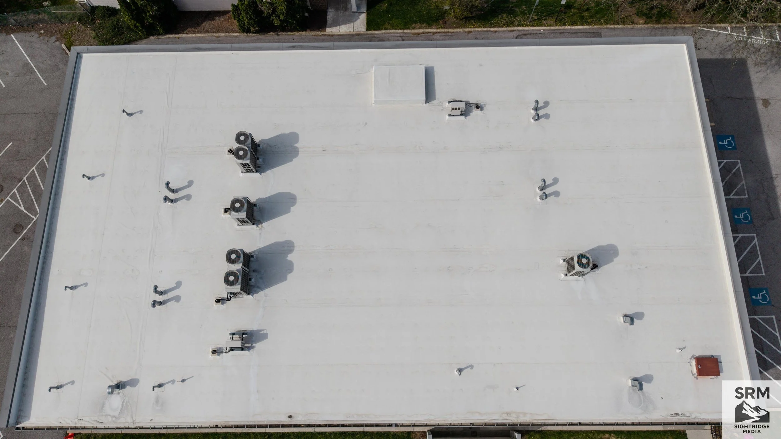
Commercial Roof Documentation - Full commercial roof survey showing drainage patterns, HVAC placement, and membrane condition.
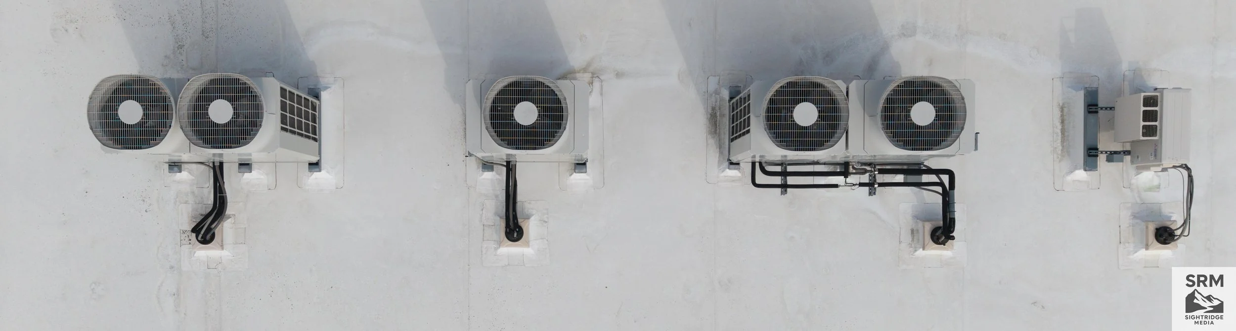
Commercial Roof Documentation - Full commercial roof survey showing drainage patterns, HVAC placement, and membrane condition.
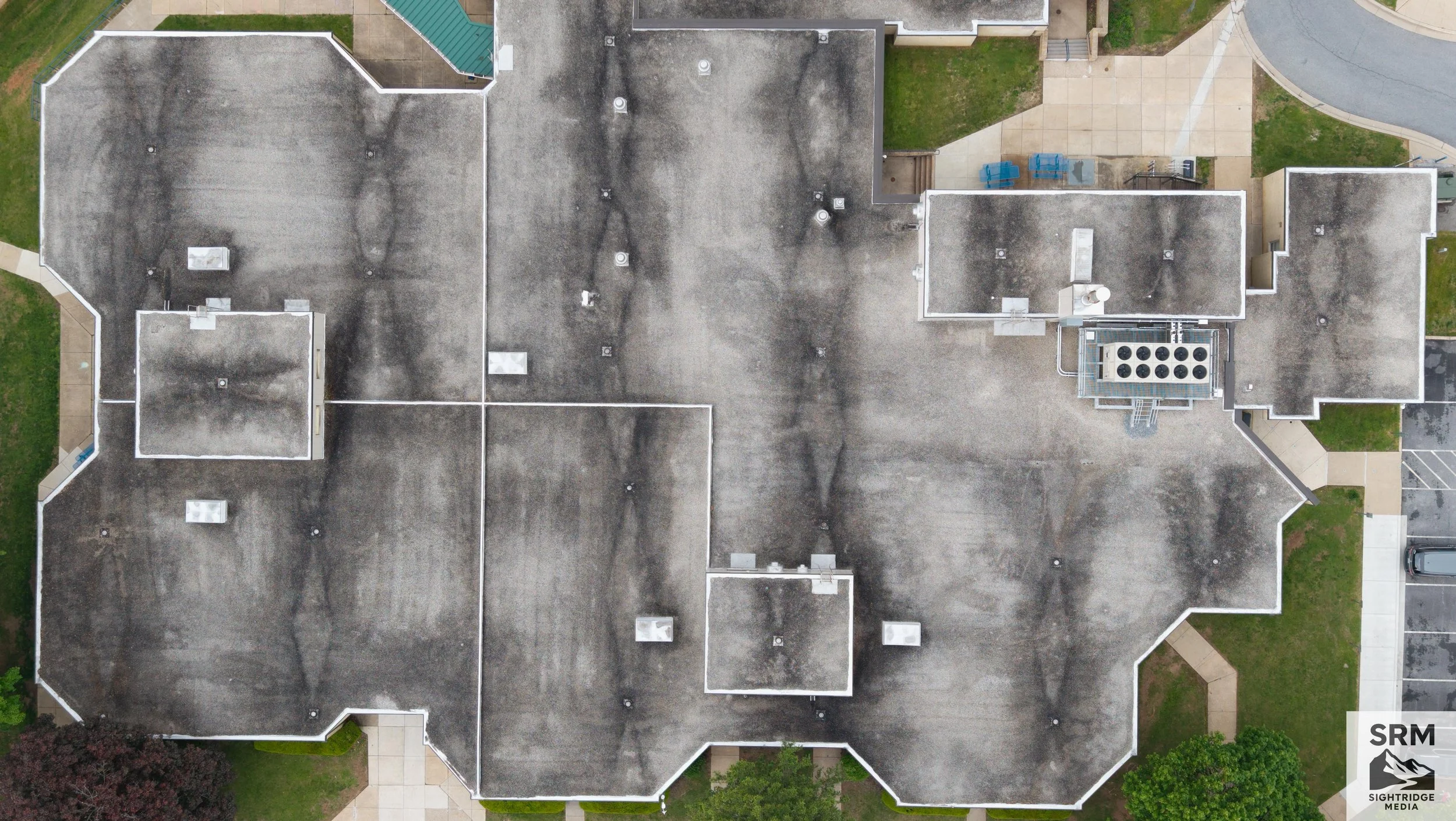
Commercial Flat Roof Documentation - Water pooling patterns and HVAC placement clearly visible from above — Northern MD commercial property.
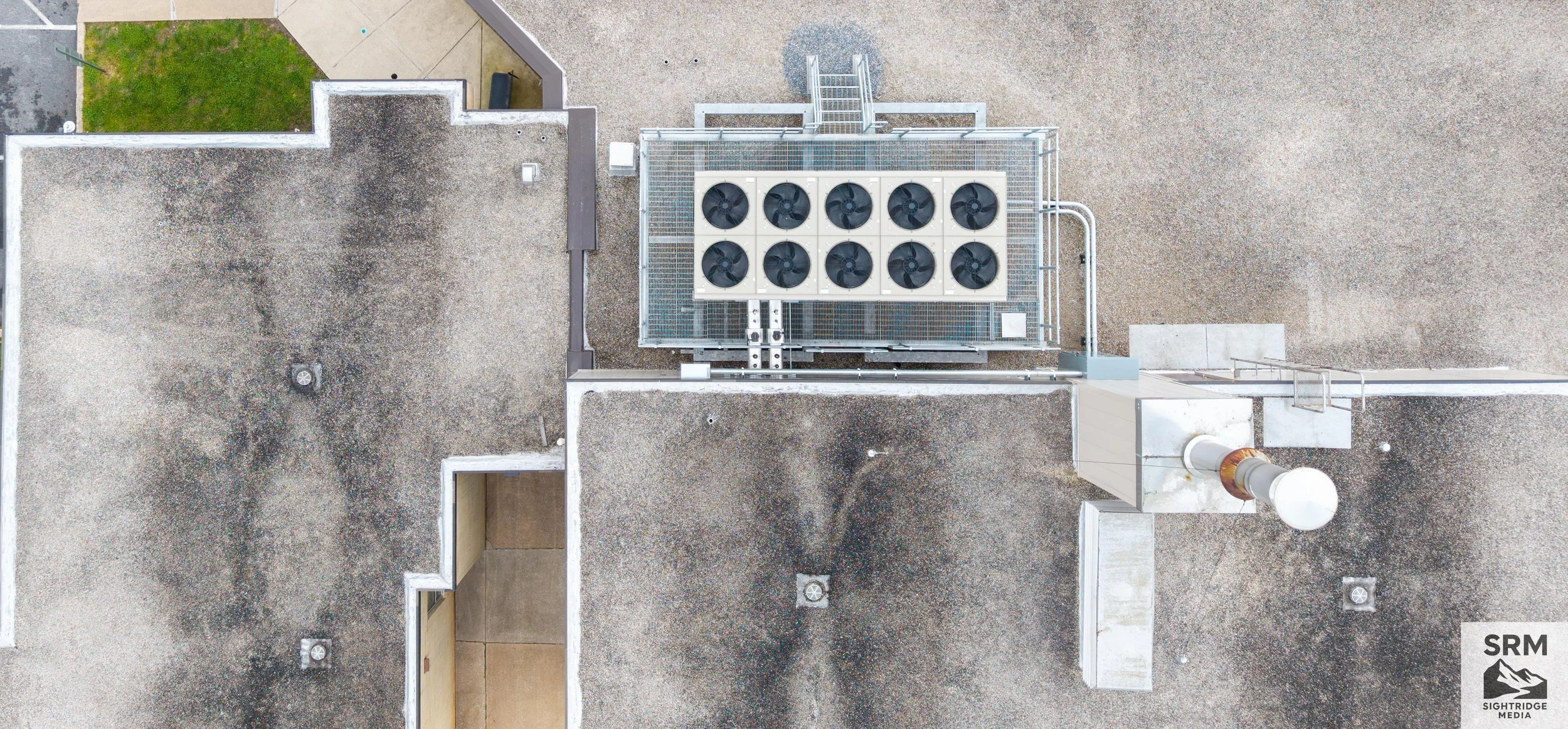
An aerial view of building rooftops showing a large HVAC cooling unit with fans, vents, and a chimney, and surrounding gravel and rooftop areas.
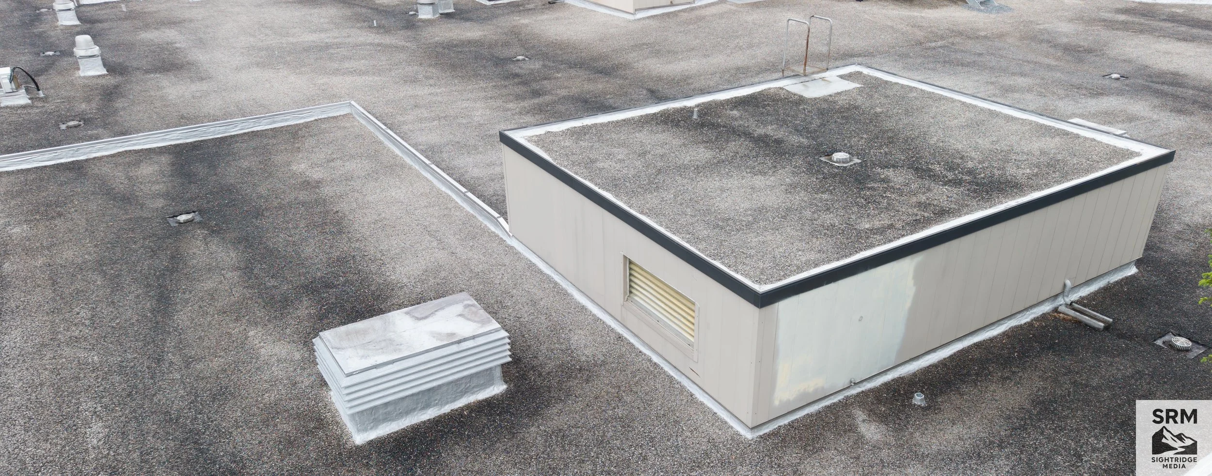
A flat commercial building roof with two HVAC exhaust vents and a small access hatch, all covered in gravel.
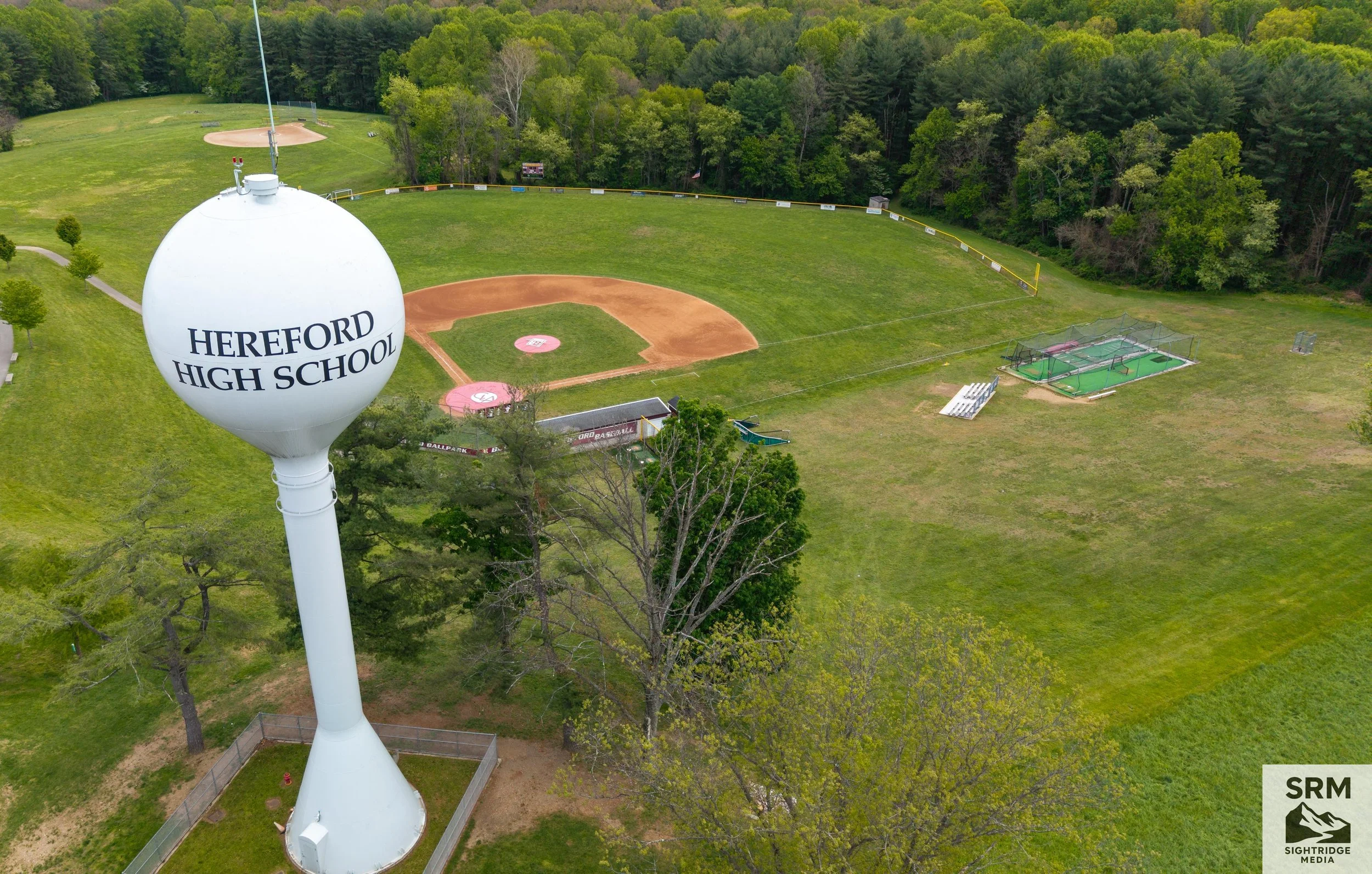
An aerial view of a baseball field with a water tower in the foreground that has 'HEREFORD HIGH SCHOOL' written on it, surrounded by green trees and a grassy area.
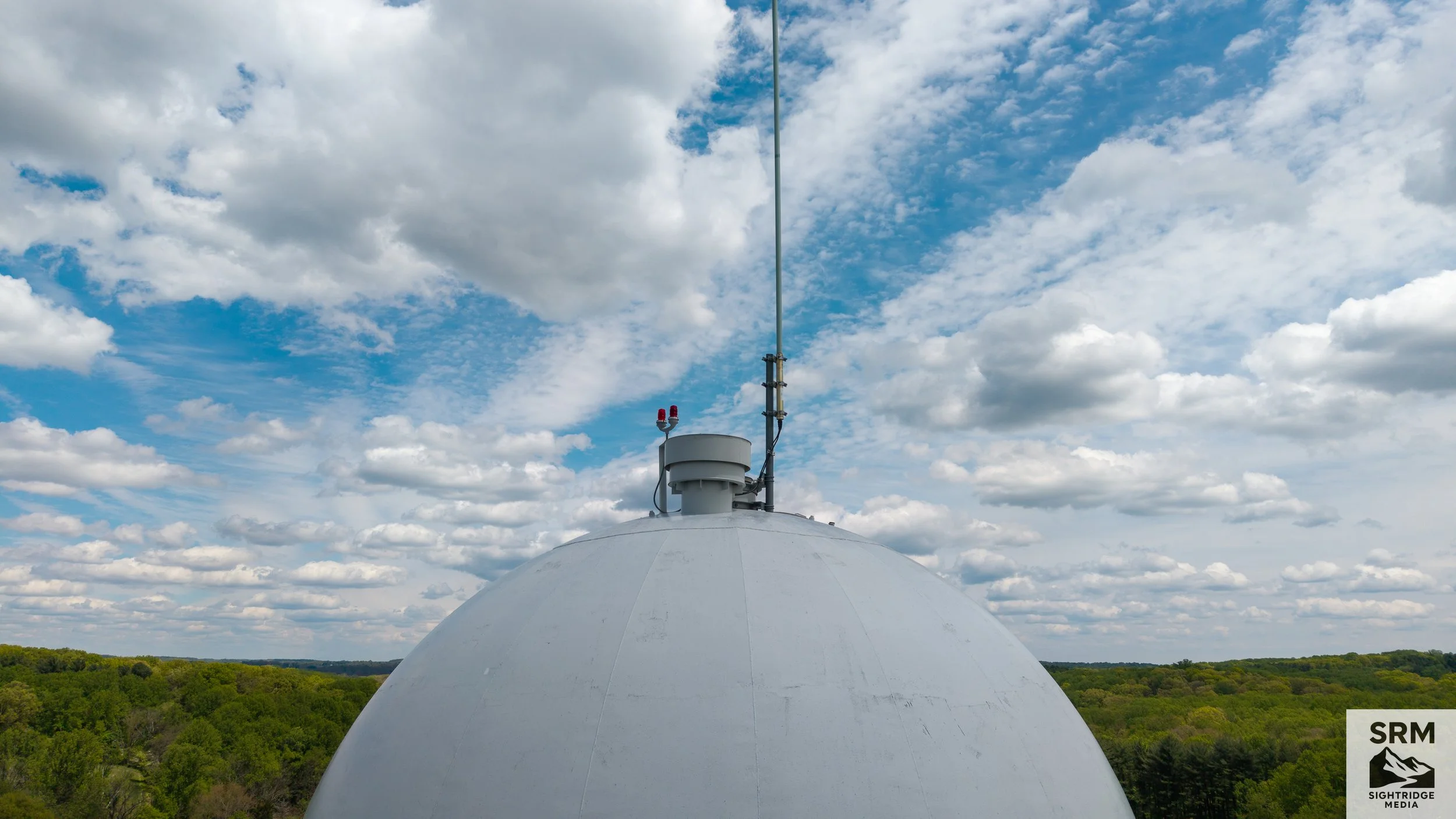
A rooftop weather station or radar dome with antennas and sensors, set against a partly cloudy sky over a green landscape.
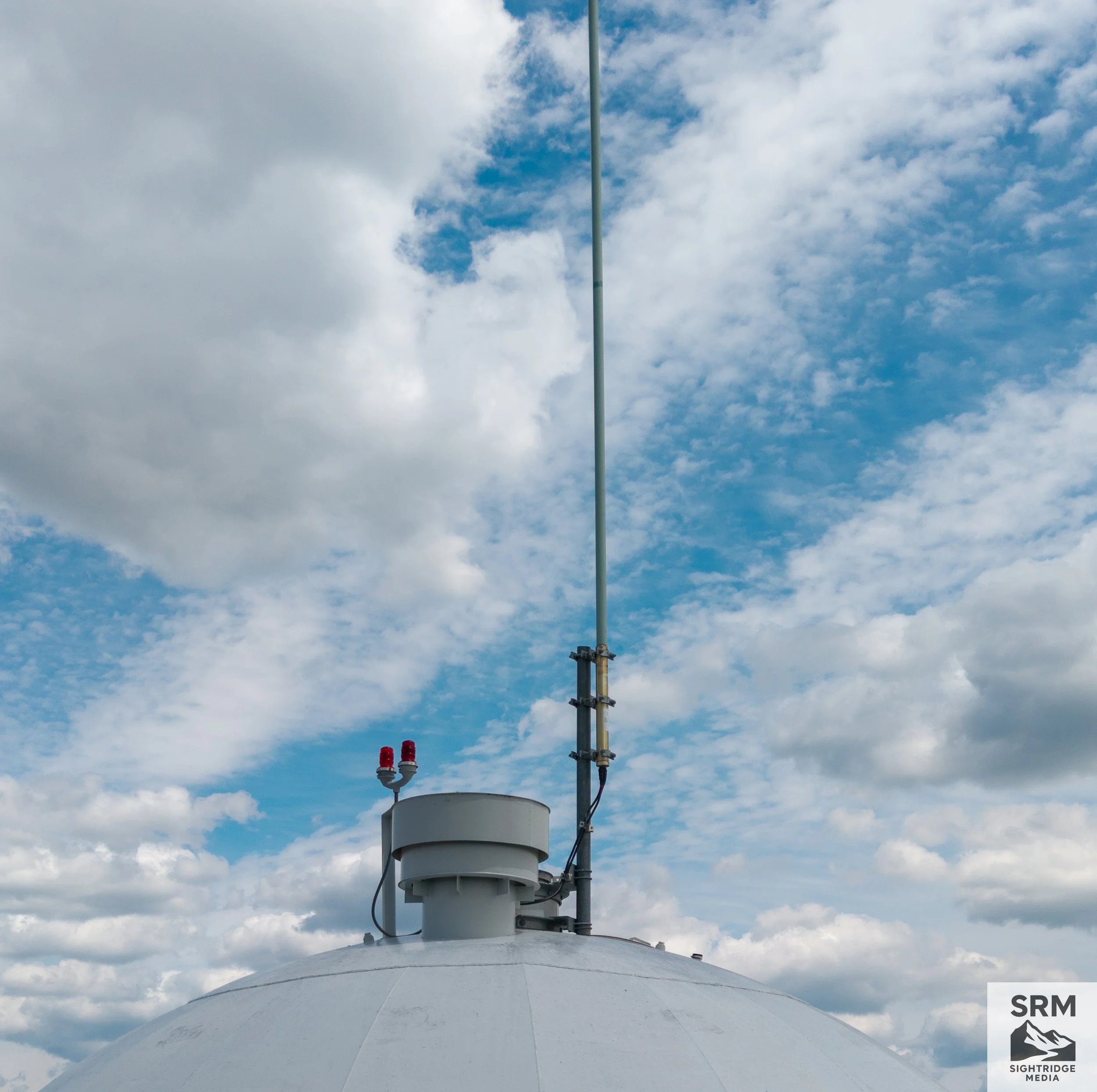
A communication tower with antennas and equipment mounted on a white dome-shaped base against a partly cloudy sky.
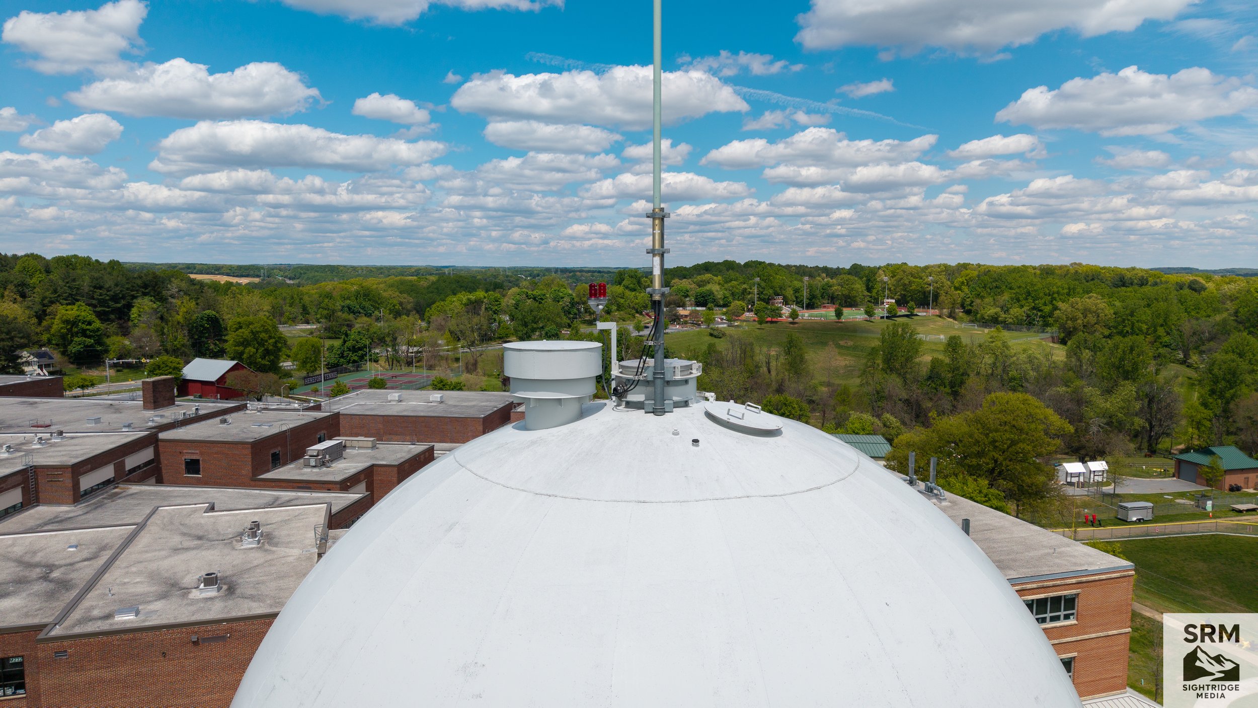
View from a rooftop showing a white dome with antennas and equipment, surrounded by buildings, trees, sports fields, and a partly cloudy sky.
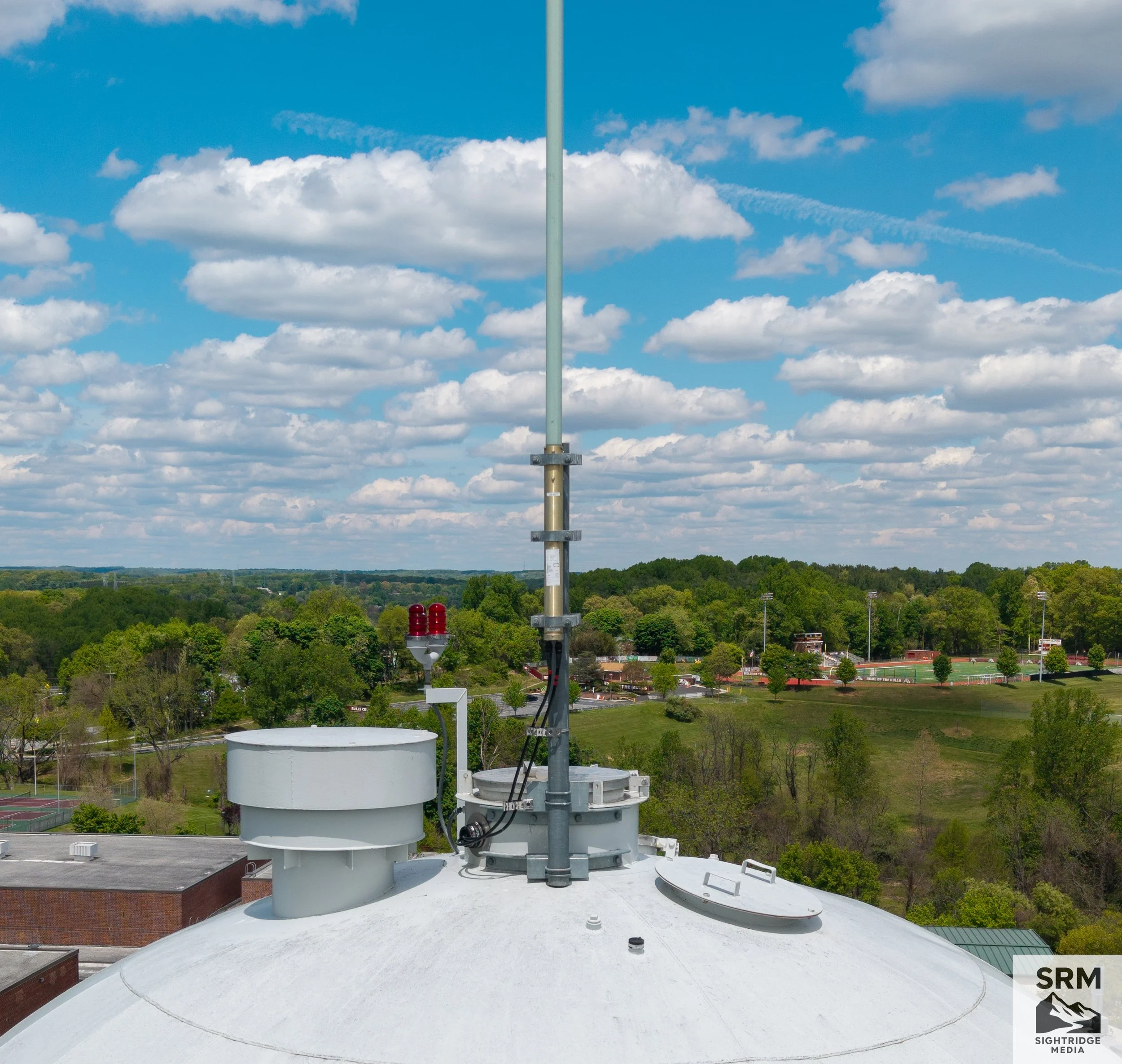
View from a rooftop showing communication equipment, including antennas and sensors, with a background of trees, a school sports field, and a partly cloudy sky.
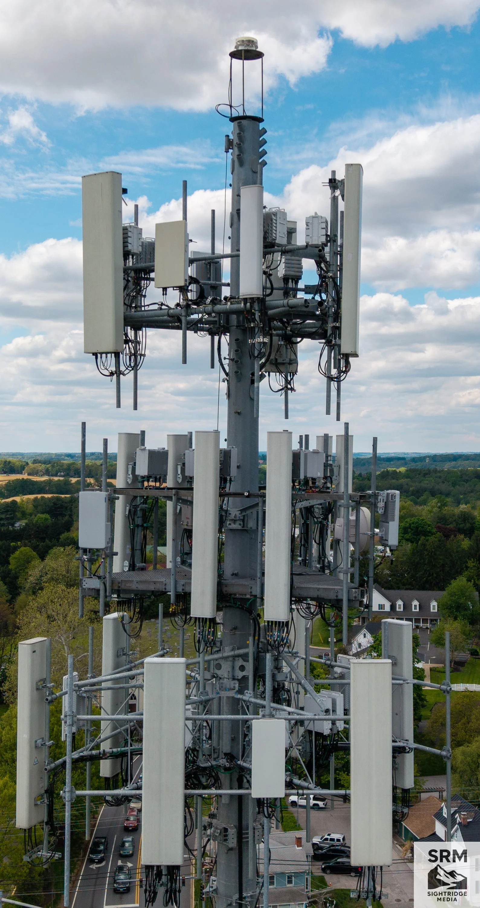
A tall cell tower with multiple antennas and equipment against a partly cloudy sky, with residential houses and a parking lot below.
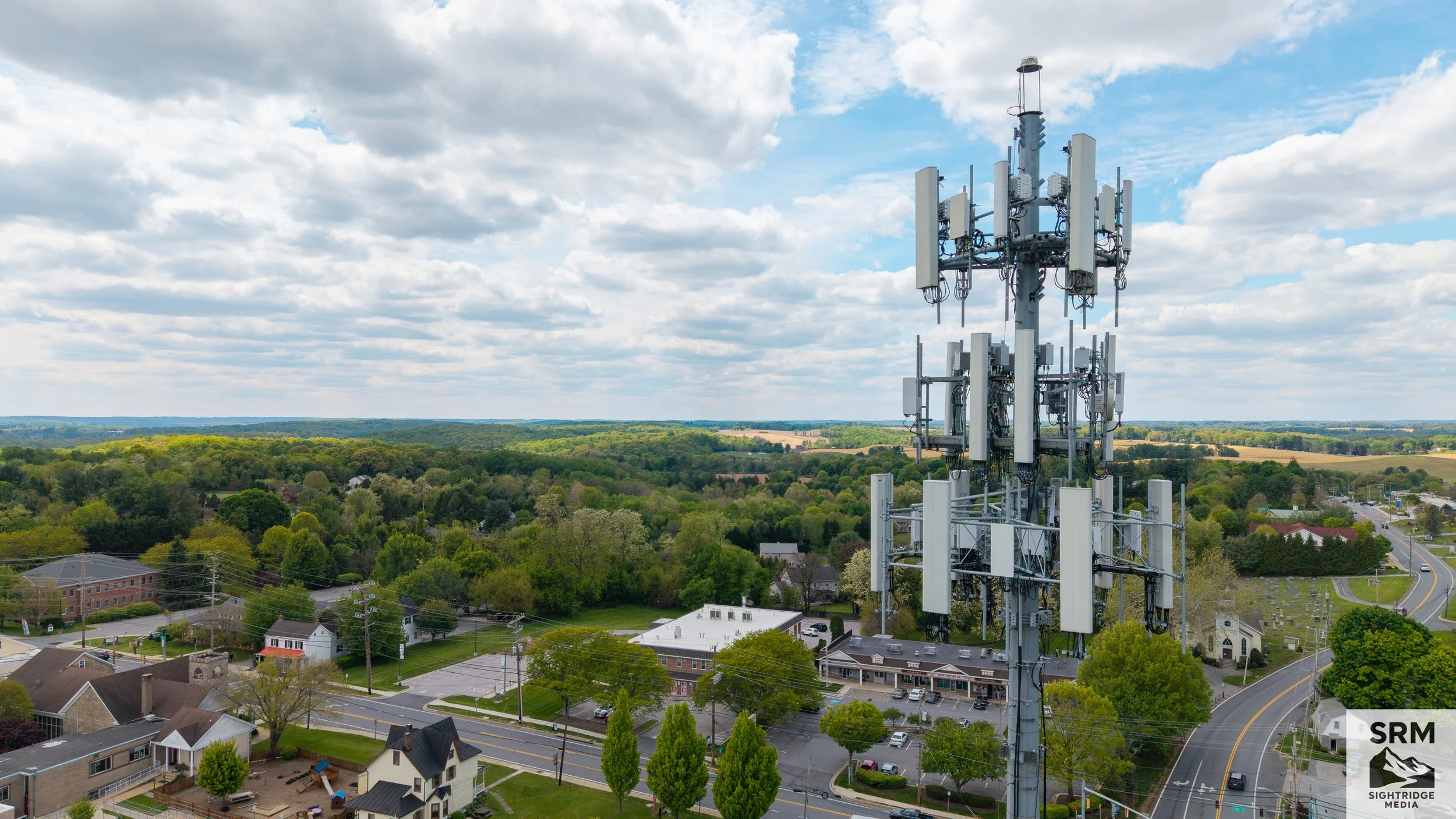
A cell tower with multiple antennas stands over a residential neighborhood with houses, trees, and winding streets, under a partly cloudy sky.
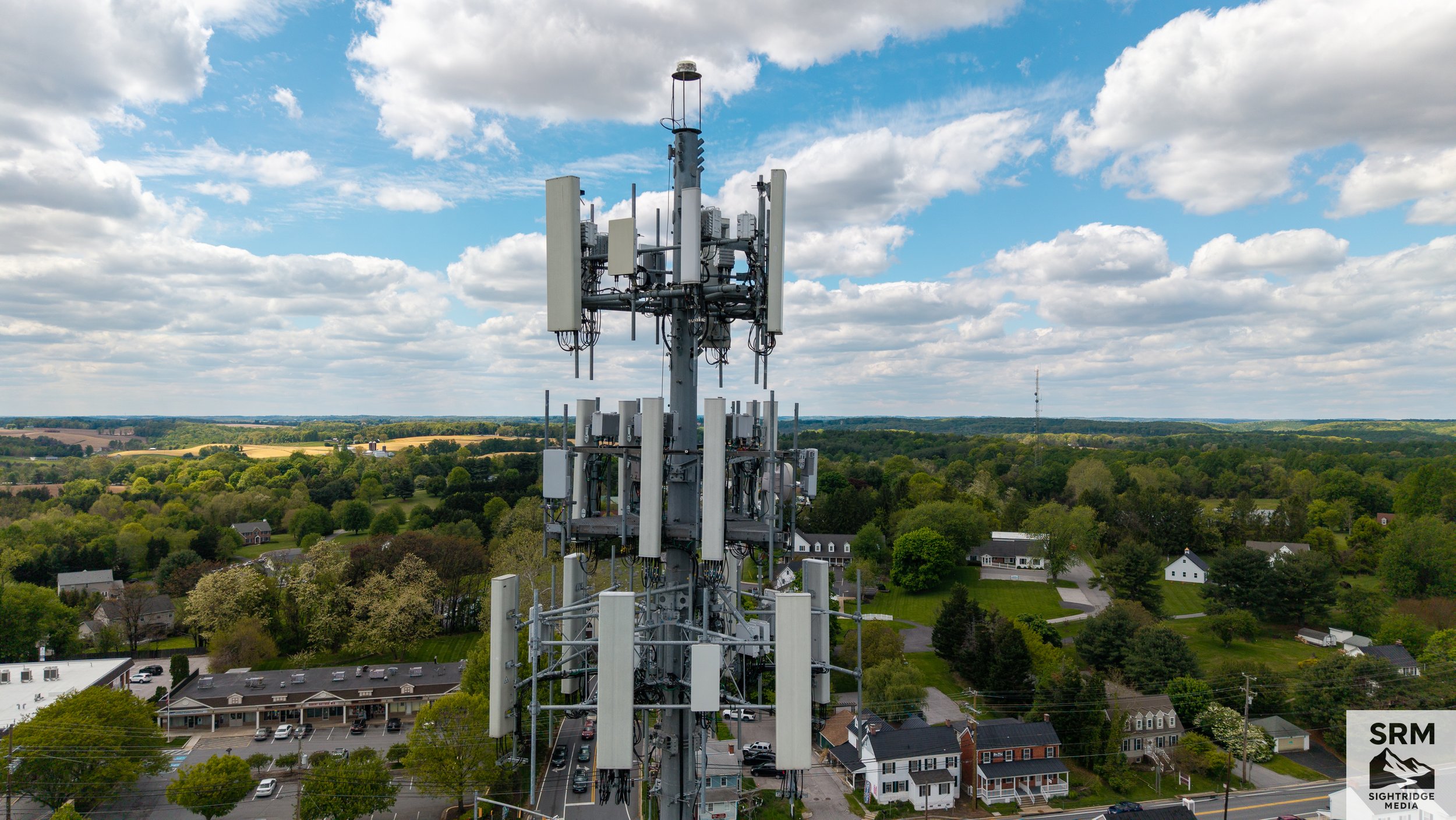
Cell Tower Infrastructure Documentation - Close-up aerial documentation of antenna arrays, mounting hardware, and tower structure — no bucket truck required.
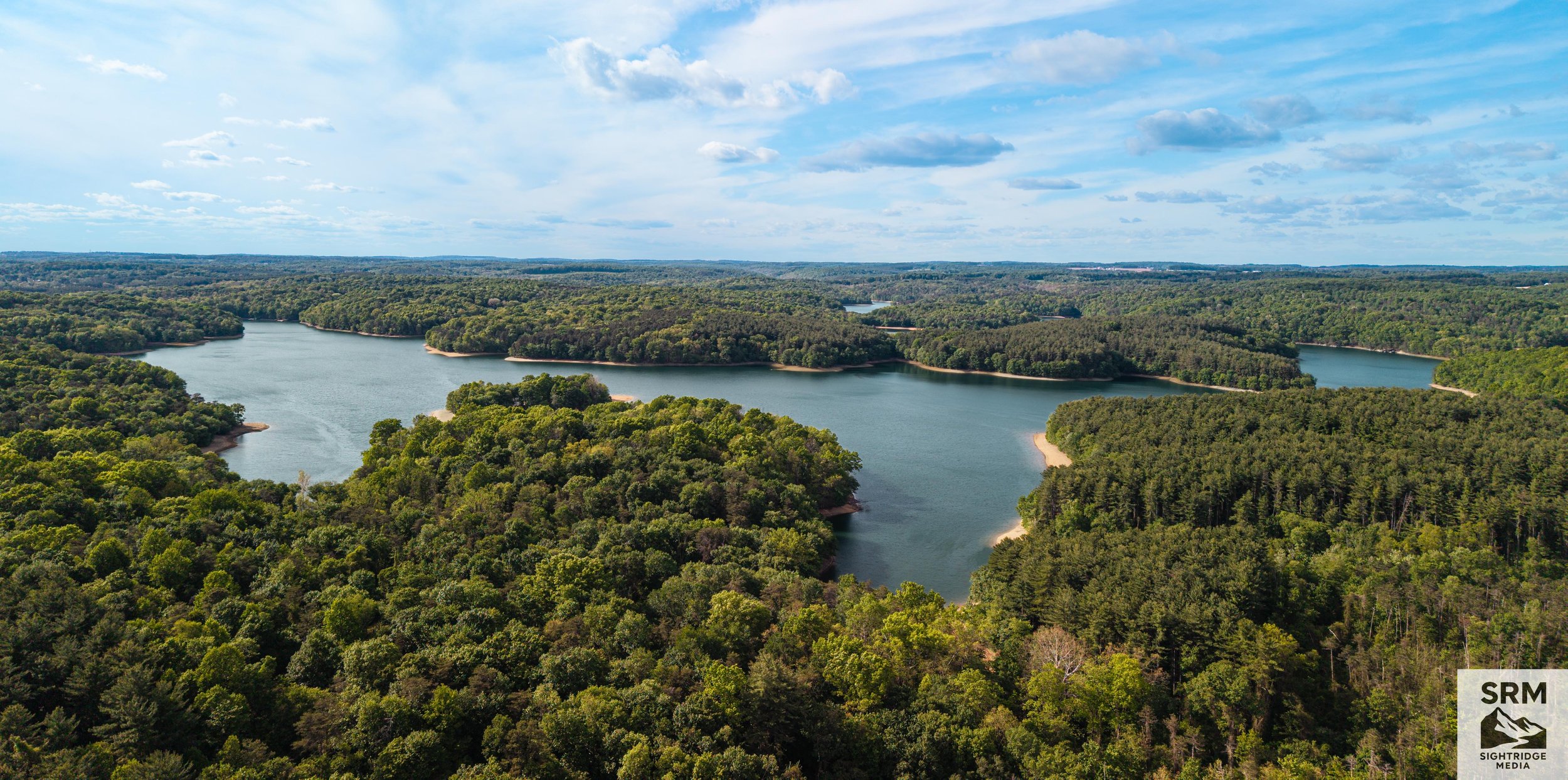
Aerial view of a large lake surrounded by dense green forests and a partly cloudy sky.
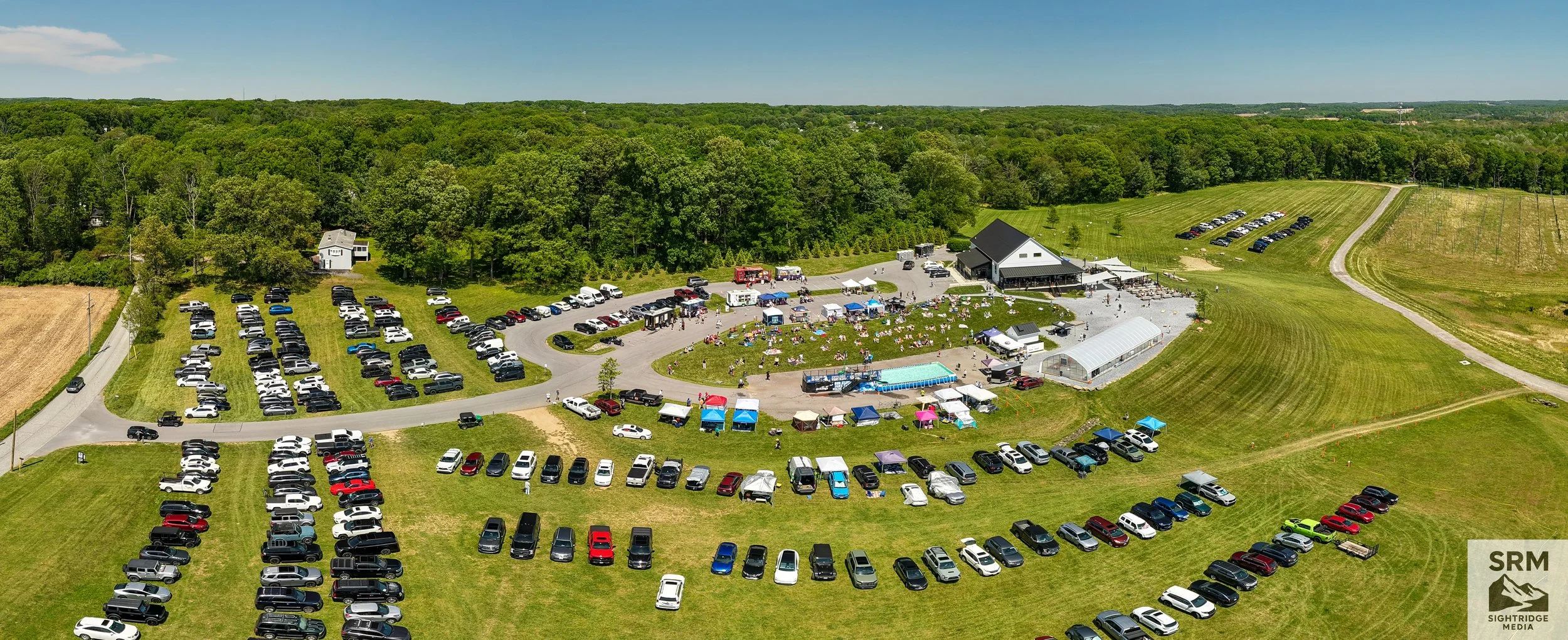
What a day at Big Truck Brewery in Parkton, MD! 🐾🍺 The grounds were packed for an amazing afternoon with Chesapeake DockDogs — the Maryland/Northern Virginia club of DockDogs® Worldwide, the largest presenter of dock-diving dog sports in the world. Watching these incredible dogs launch off the dock competing in distance, speed, and height was something else entirely! Amazing food, great vibes, and the wonderful people from BARC (Baltimore Animal Rescue Center) made it a day to remember. 🐕❤️ Big shoutout to Big Truck Brewery for hosting such an incredible event! 🍺 📍 Parkton, MD 🐕 @chesapeakedockdogs 🐾 @barcshelter 🍺 @bigtruckbrewery #DockDogs #ChesapeakeDockDogs #BigTruckBrewery #ParktonMD #DockDiving #DogsOfInstagram #BARC #MarylandDogs #DronePhotography #AerialPhotography