Aerial photography built for the working farm. Whether you need documentation of field conditions, drainage patterns, crop patterns, or overall property layout, SightRidge Media delivers detailed imagery that helps landowners, operators, and agronomists make better decisions. Serving Northern Maryland and Southern Pennsylvania.
Agriculture
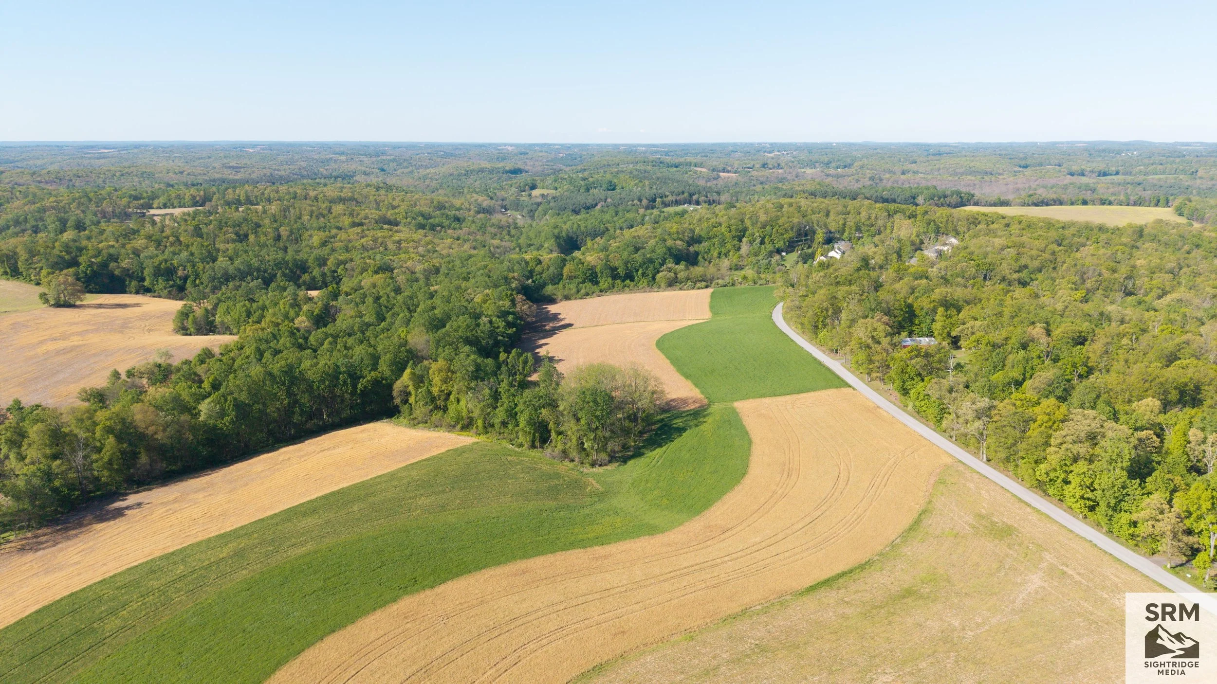
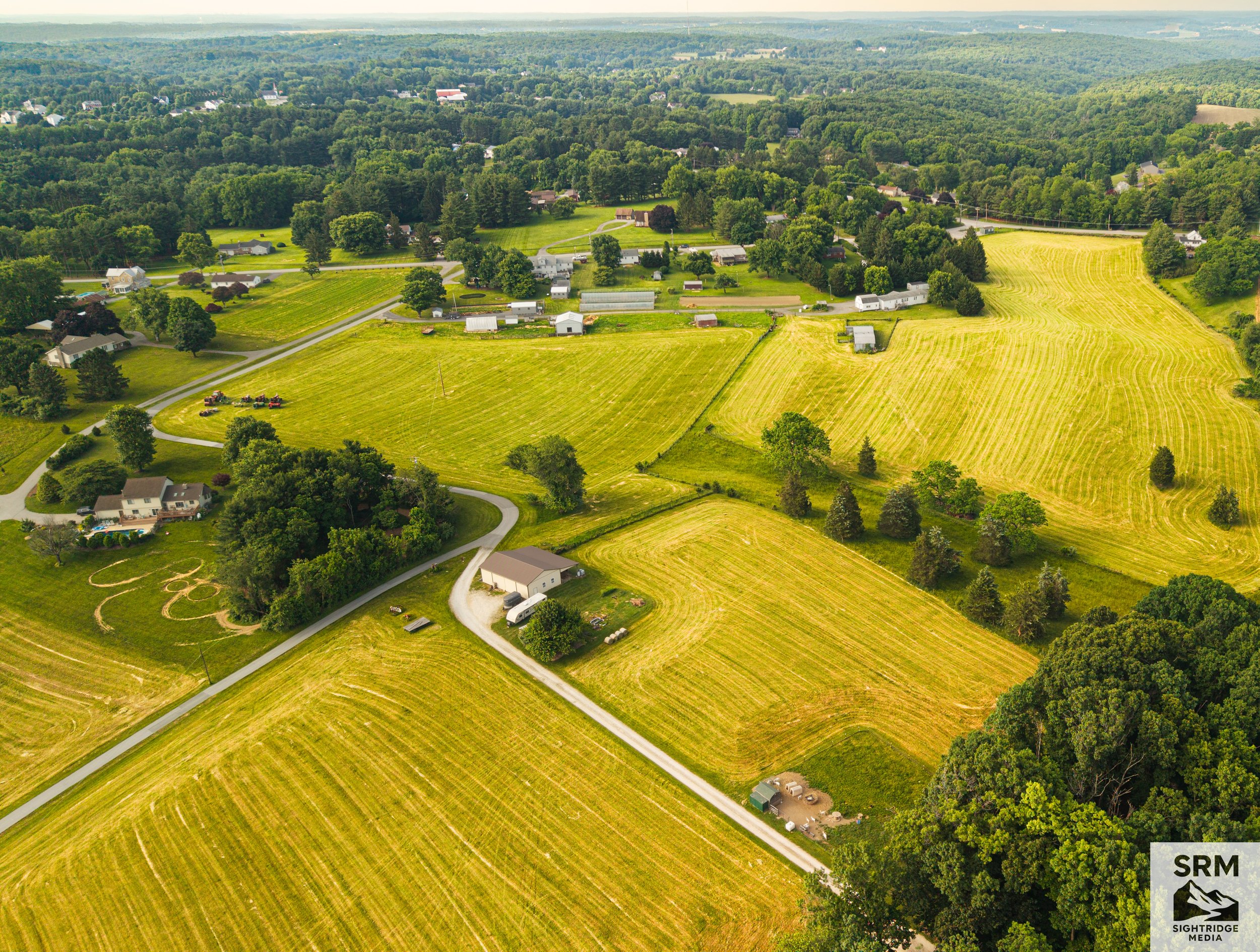
Rural Agricultural Landscape — Aerial overview of farmland, field conditions, and property layout — Northern Maryland.
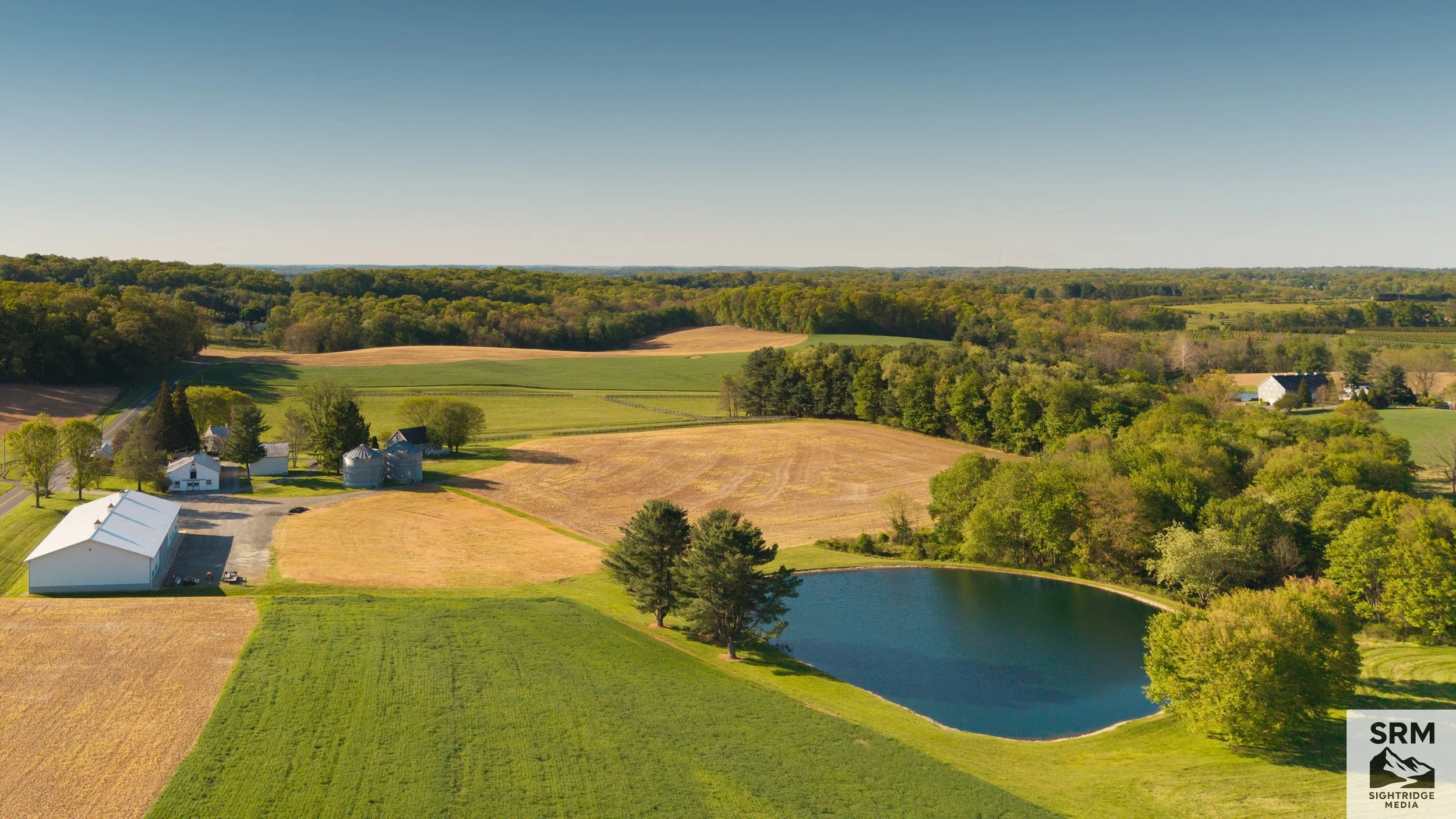
Agricultural Property Overview — Aerial survey showing field layout, farm pond, and surrounding property — Northern Maryland.
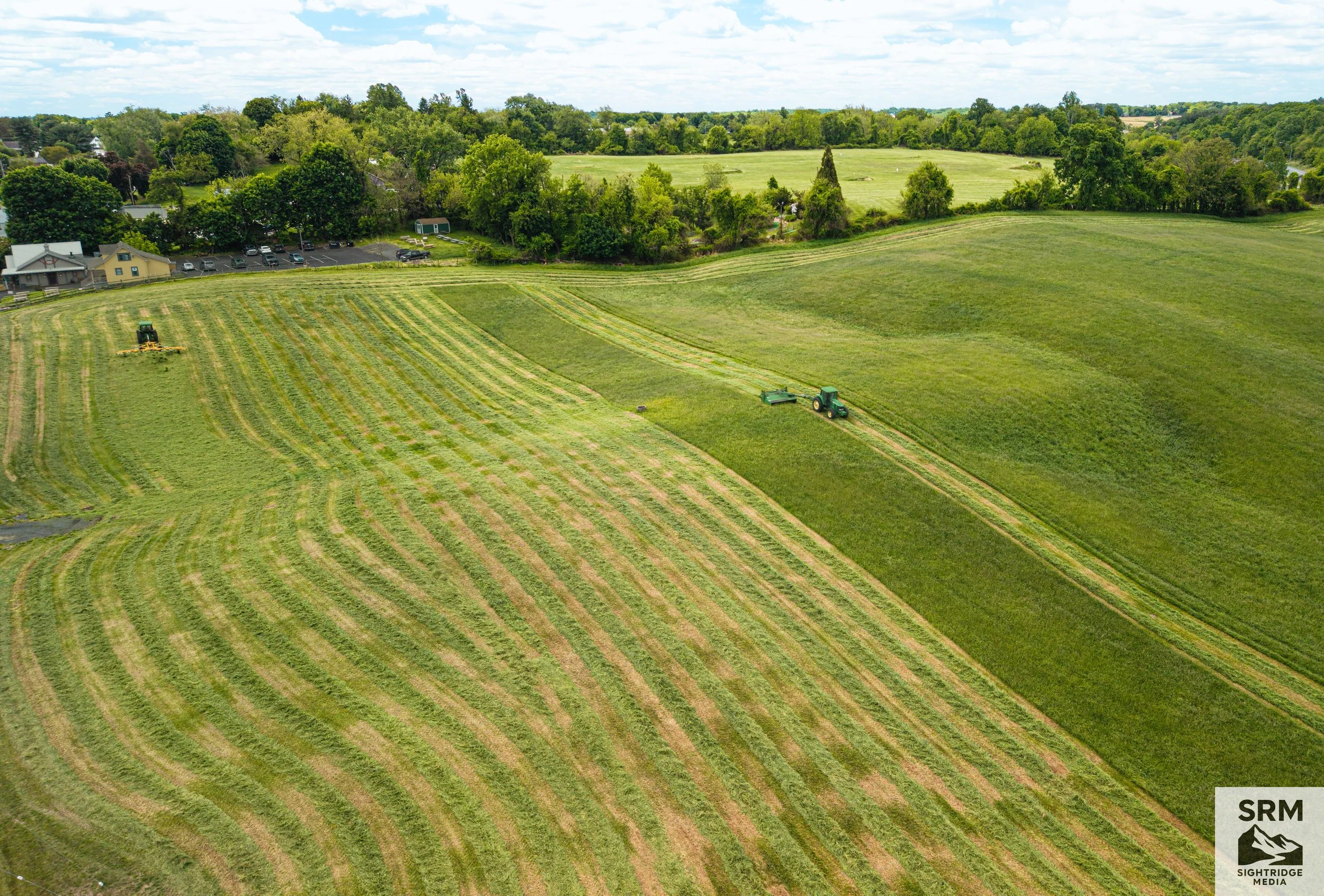
Active Agricultural Documentation — Aerial view of hay field showing crop patterns and harvesting operations — Northern Maryland.
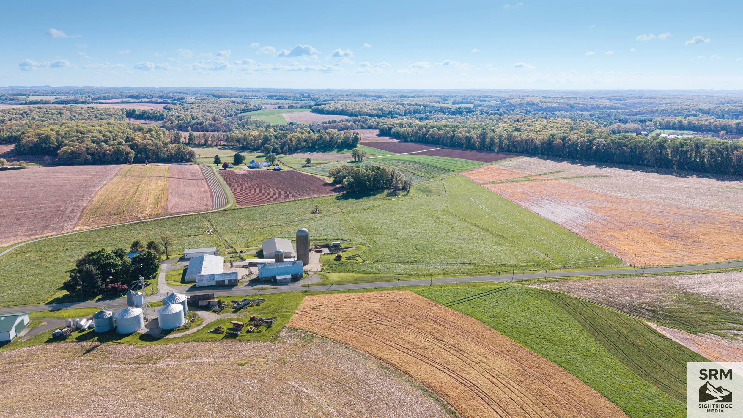
Farm Aerial Overview — Buildings, grain silos, and surrounding fields documented from above showing full farm operation — Northern Maryland.
Early summer over the Hereford Zone — a patchwork of cut fields, farm lanes, and tree lines from above.